Sept 2016. Started off the Fall season with a long 65 mile loop around Mt Lyell. Didn't know much about this region but after seeing some images of Twin Island Lakes I wanted to find a way to see this and other parts of Yosemite and Ansel Adams Wilderness. In hindsight I'm not sure the best way to start this loop was at Silver Lake. The trail up to past the reserviors to the JMT provides quick access, but that's about it. I spent the 1st night just south of Donohue Pass, the 2nd on the south shore of Evelyn Lake, the 3rd at the Lyell Fork of the Merced River, the 4th below Blue Lakes, and the 5th at the top of the North Fork of the San Joaquin River. After crossing Clinch Pass I spent the 6th and last night at Rogers Lakes before re-connecting with the Rush Creek Trail the next morning.
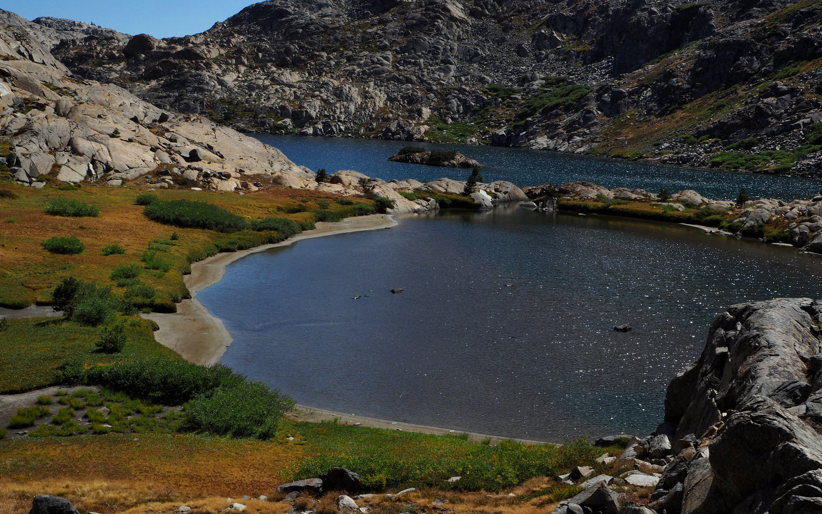
LEAVING UPPER TWIN ISLAND LAKE
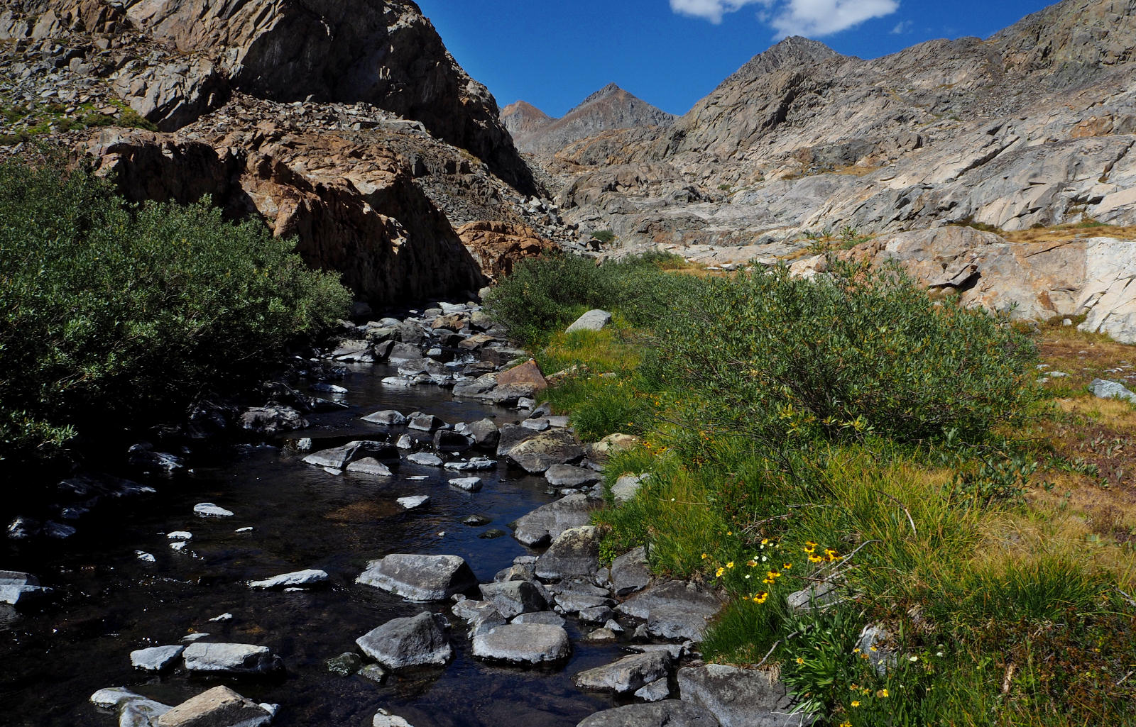
HEADED UP CANYON FROM UPPER TWIN ISLAND LAKE
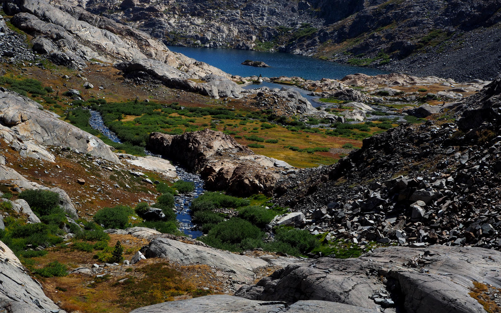
LOOKING BACK AT UPPER TWIN ISLAND LAKE AS I START UP THE CANYON
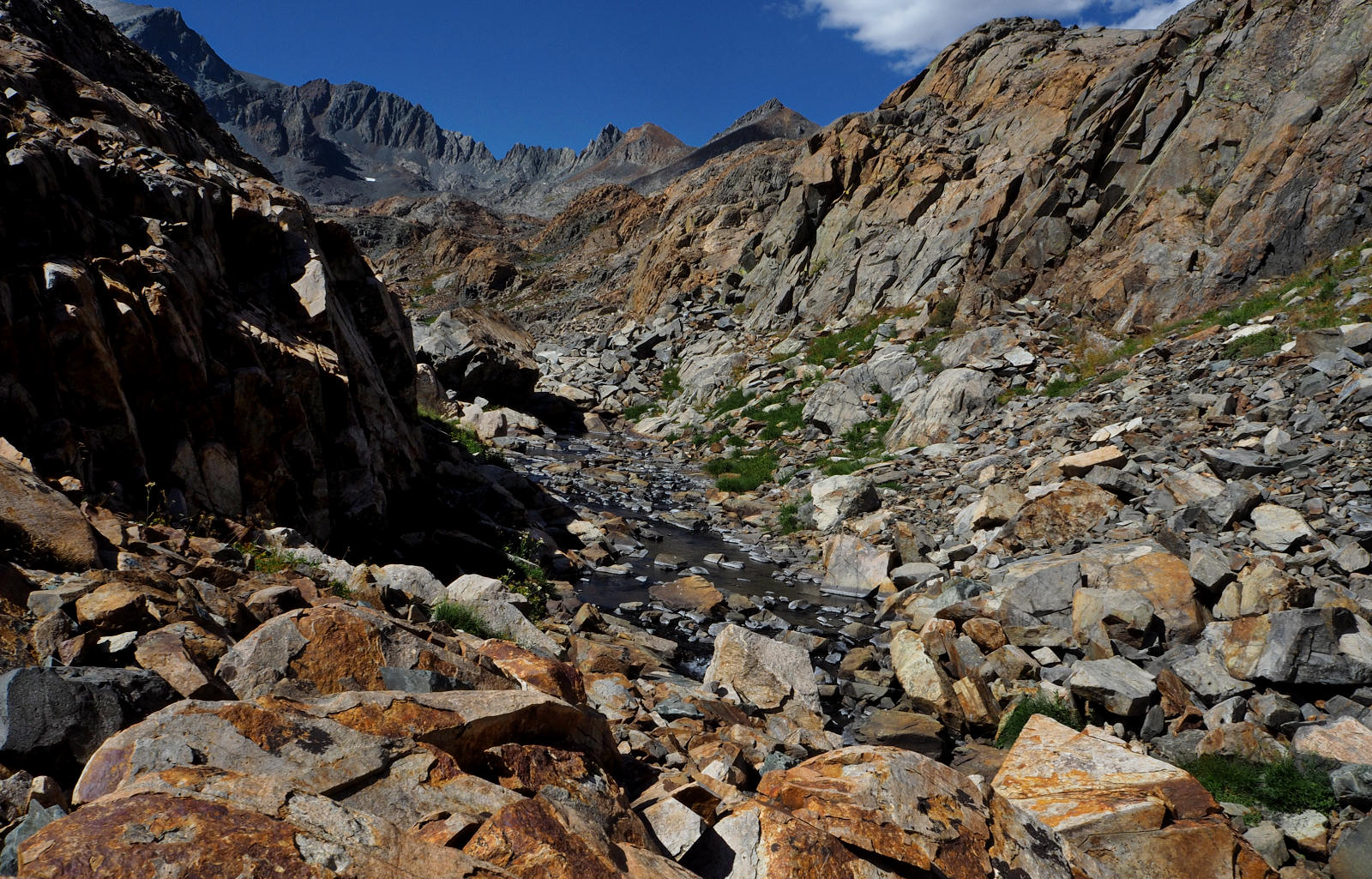
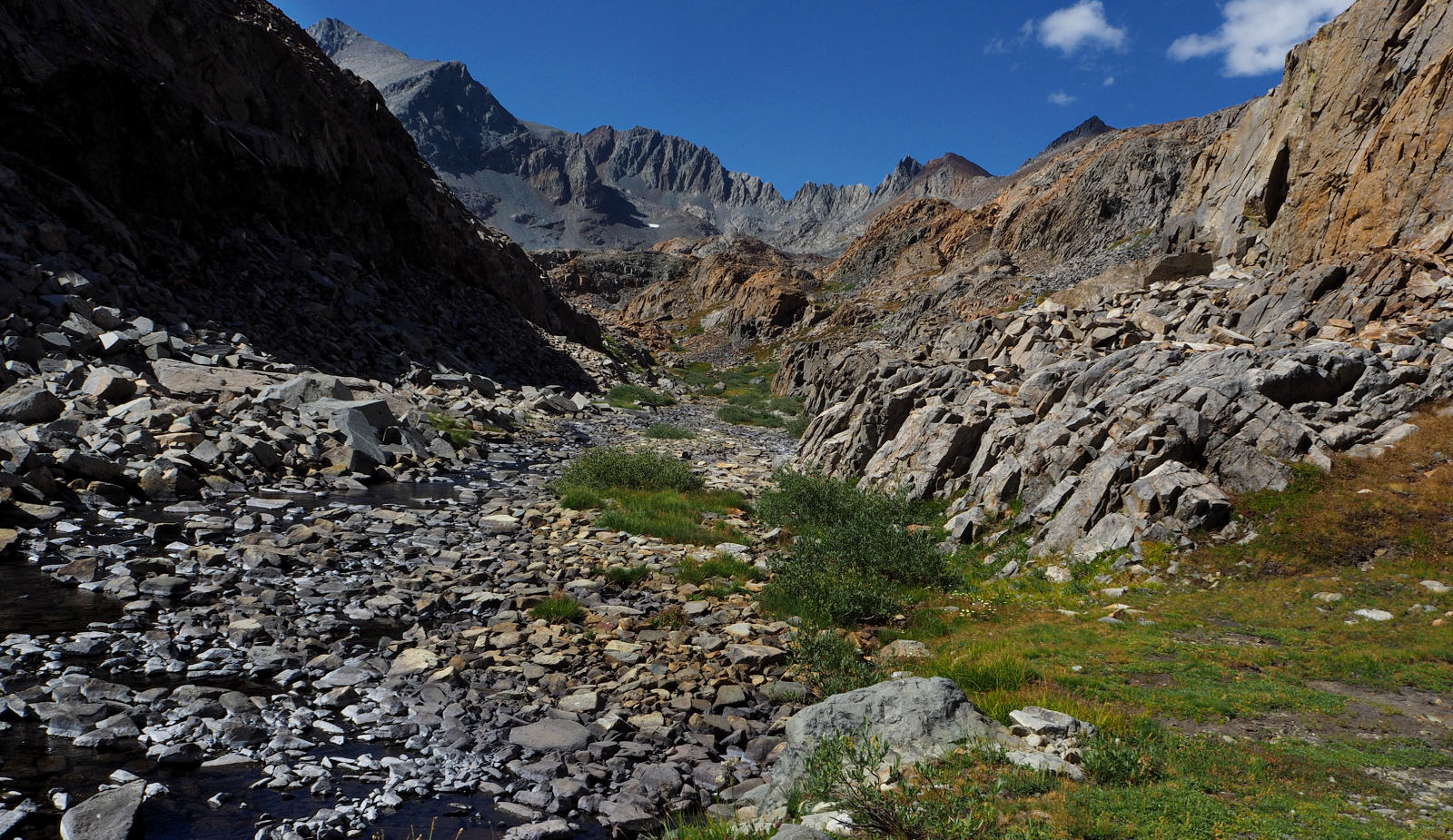
MOVING THRU THE MID SECTION OF GORGE.
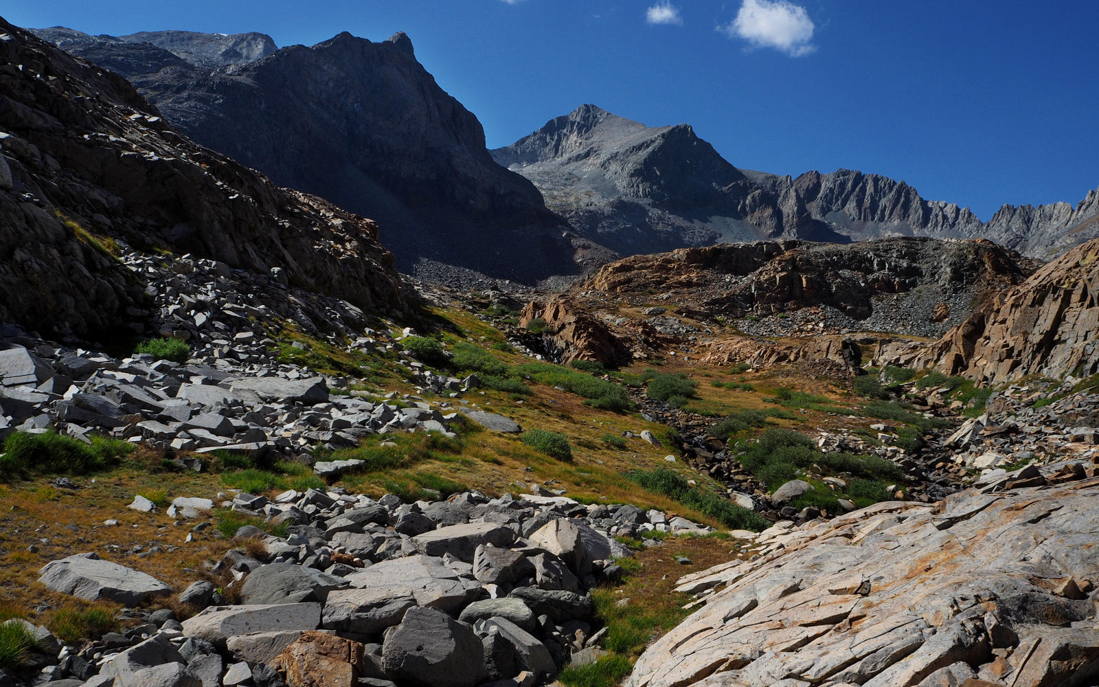
ANOTHER VIEW OF MOVING THRU THE MID SECTION OF CANYON.
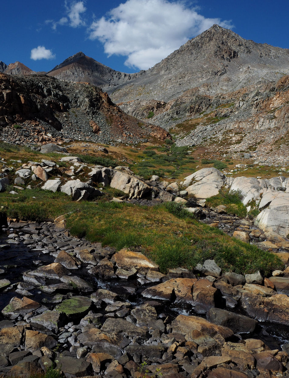
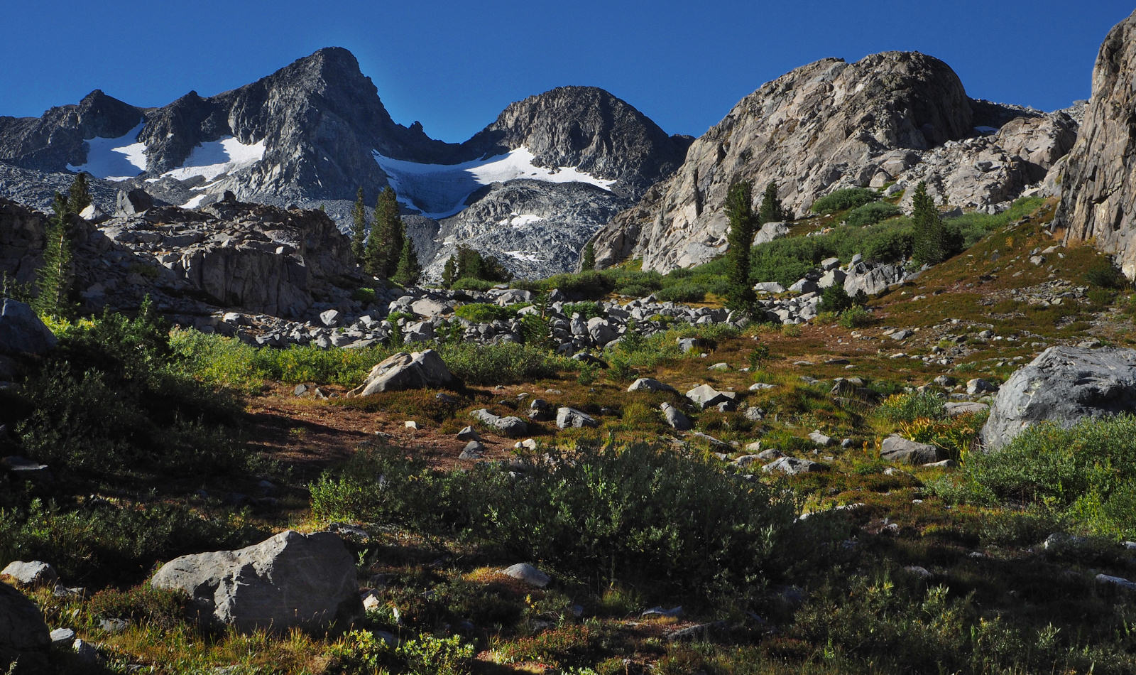
THE CANYON BEGINS TO OPEN UP
CLINCH PASS IN THE FAR DISTANCE
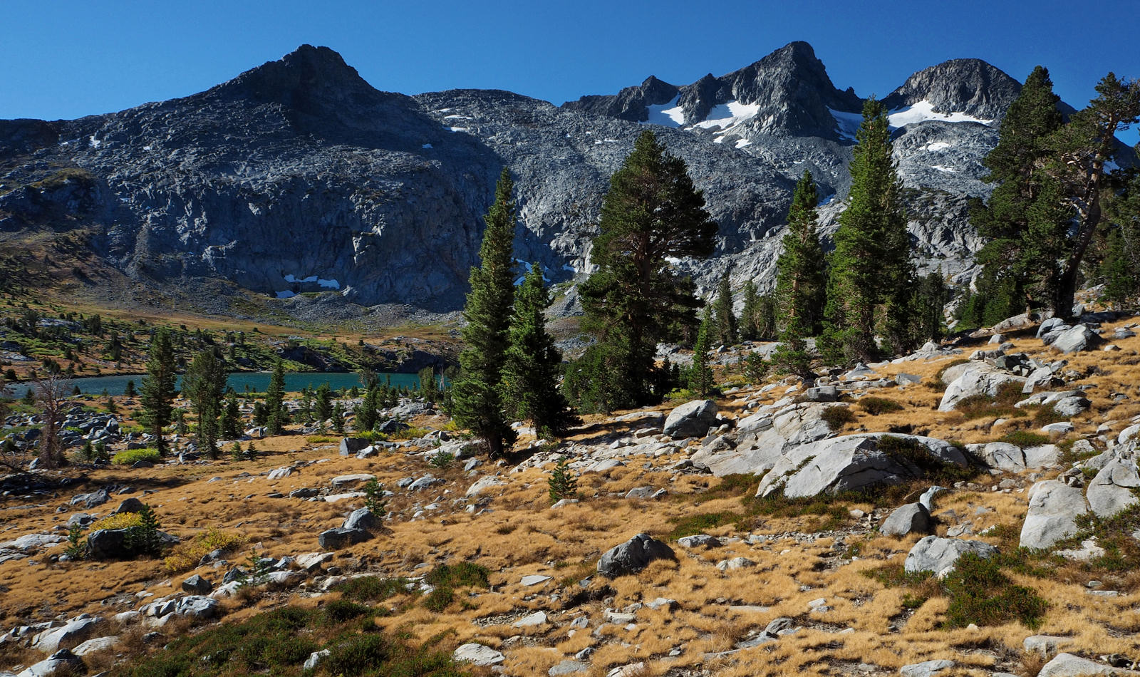
THE FINAL HILL OF THE DAY AS I MOVE PAST ONE OF THE UPPER LAKES IN THE BASIN.
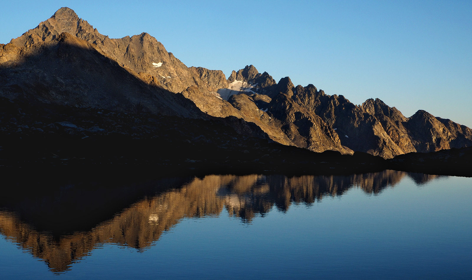
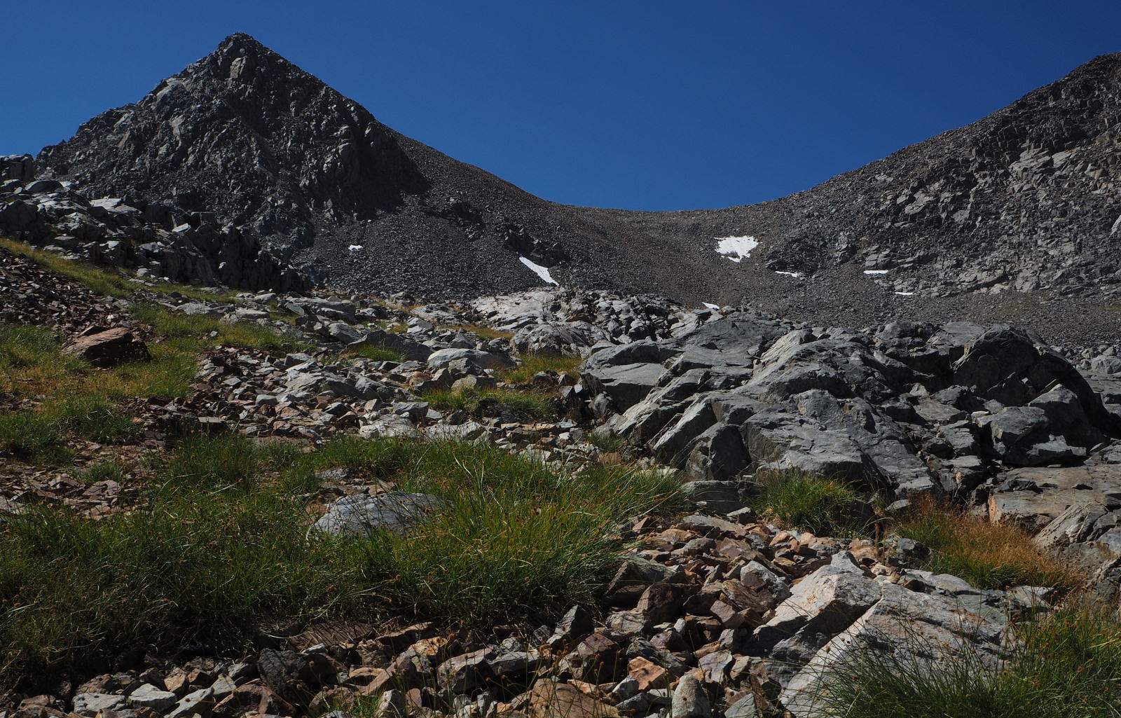
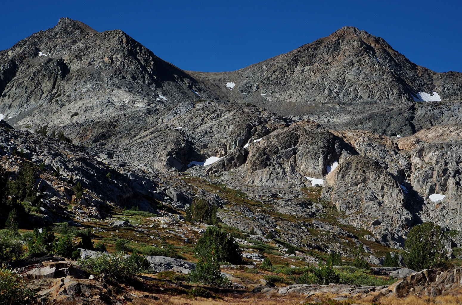
RITTER RANGE PEAK FROM UPPER BASIN
ANOTHER VIEW OF THE RITTER RANGE PEAKS FROM UPPER BASIN
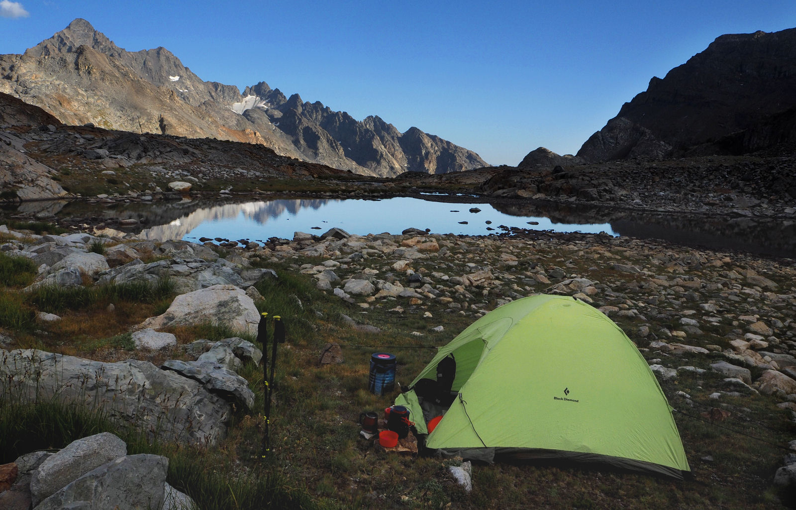
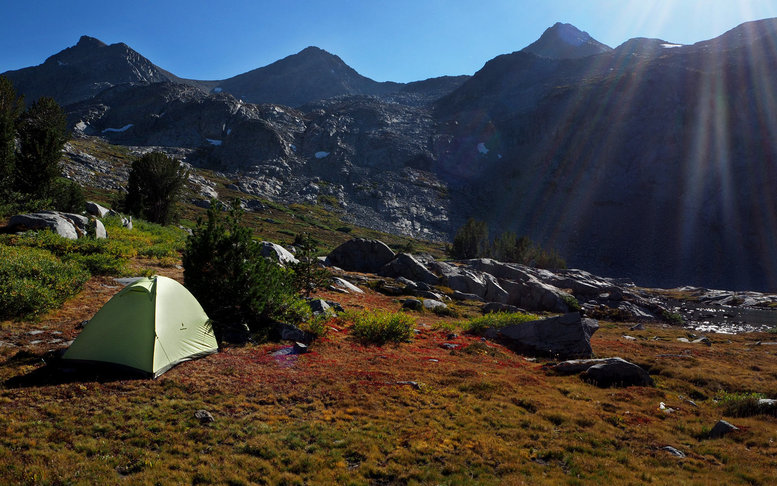
CAMPSITE AT THE END OF DAY 5
LATE DAY VIEW OF CLINCH PASS
RITTER RANGE VIEW FROM A SMALL TARN IN THE NORTH FORK OF THE SAN JOAQUIN
MORNING LIGHT ENTERS THE VALLEY
TIME FOR A PLAN
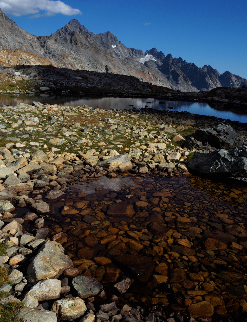
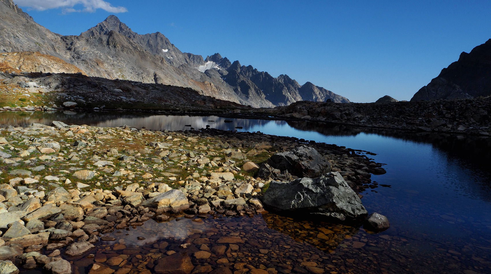
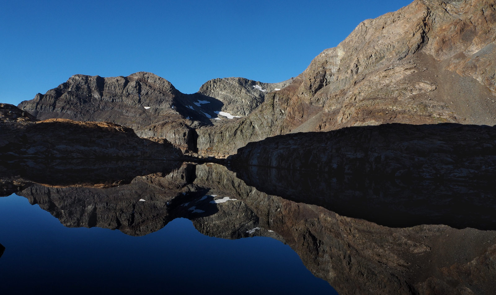
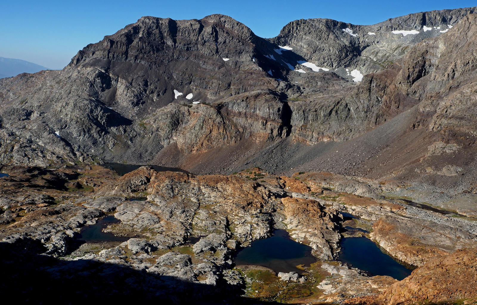
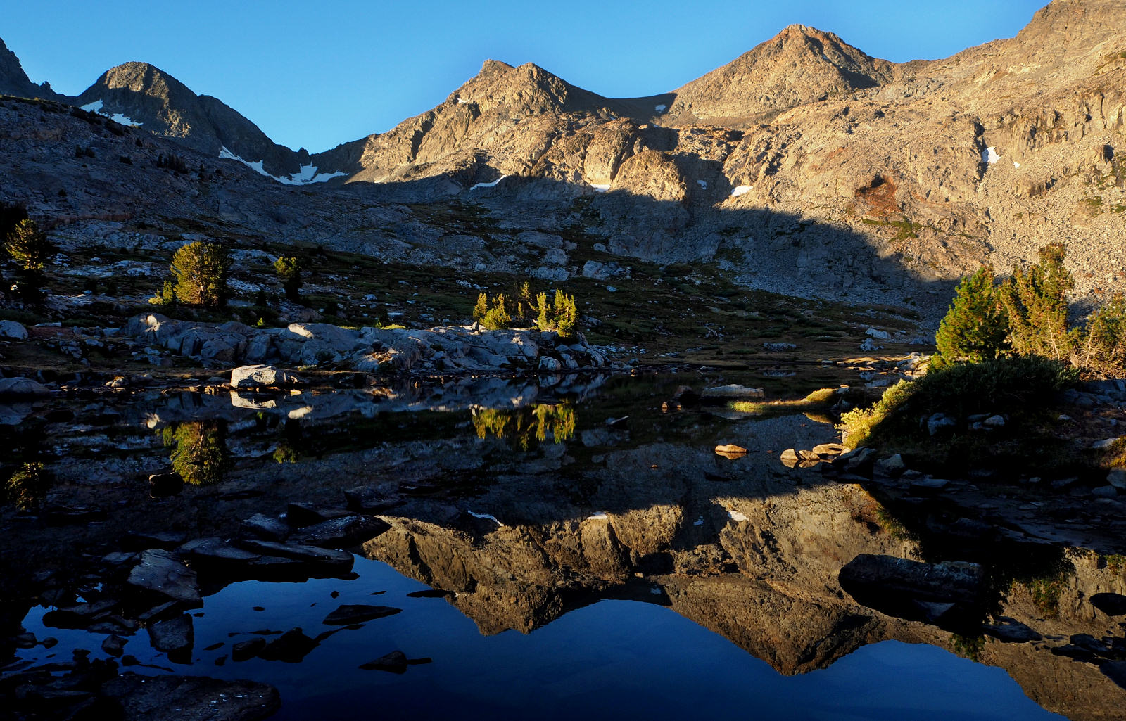
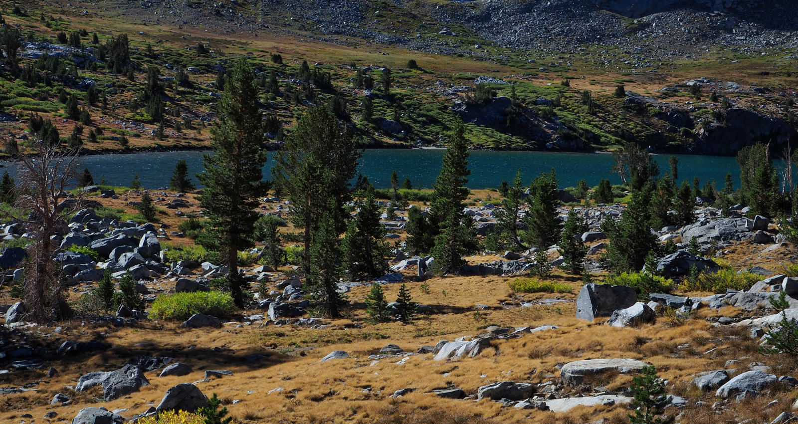
SMALL TARNS IN THE UPPER BASIN
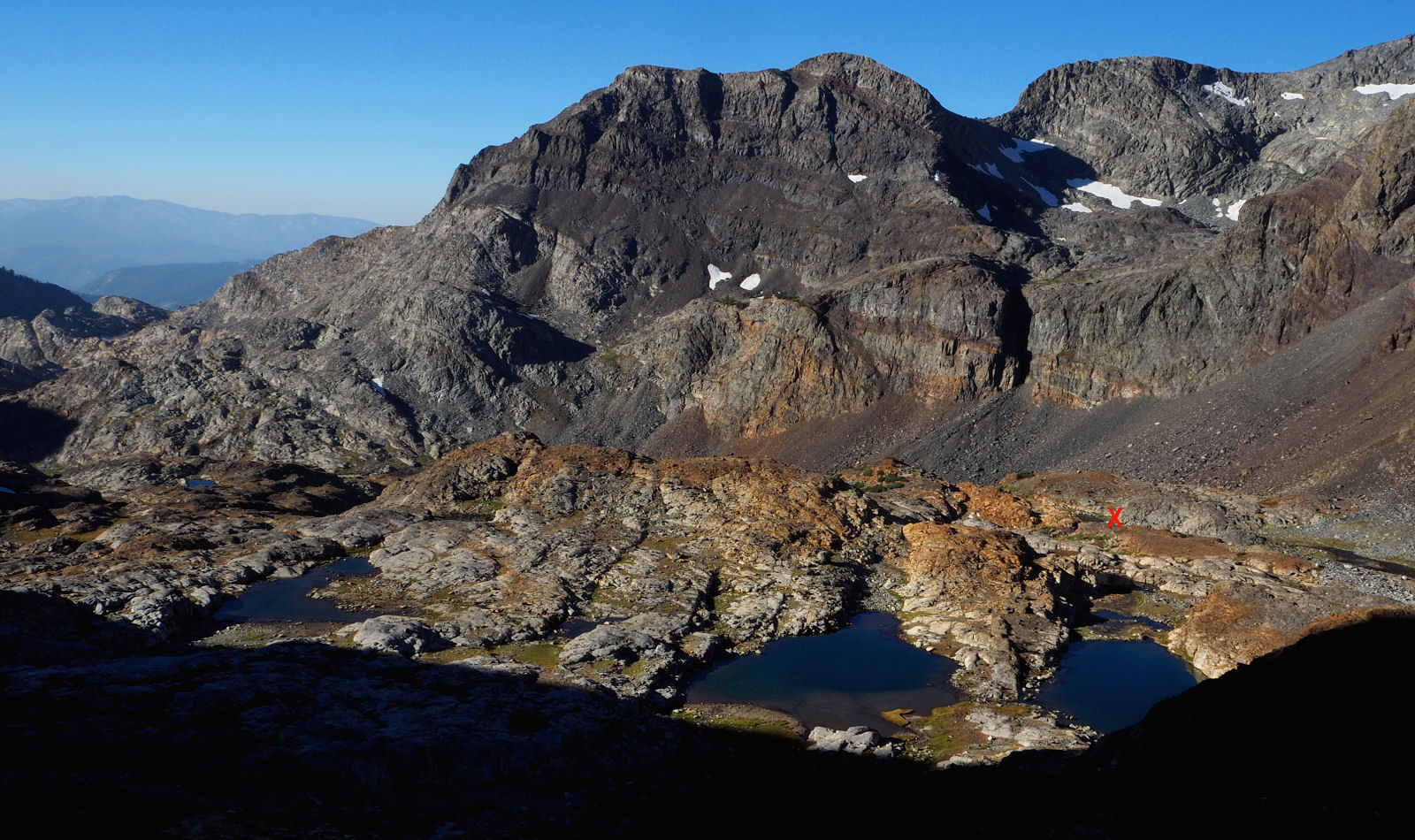
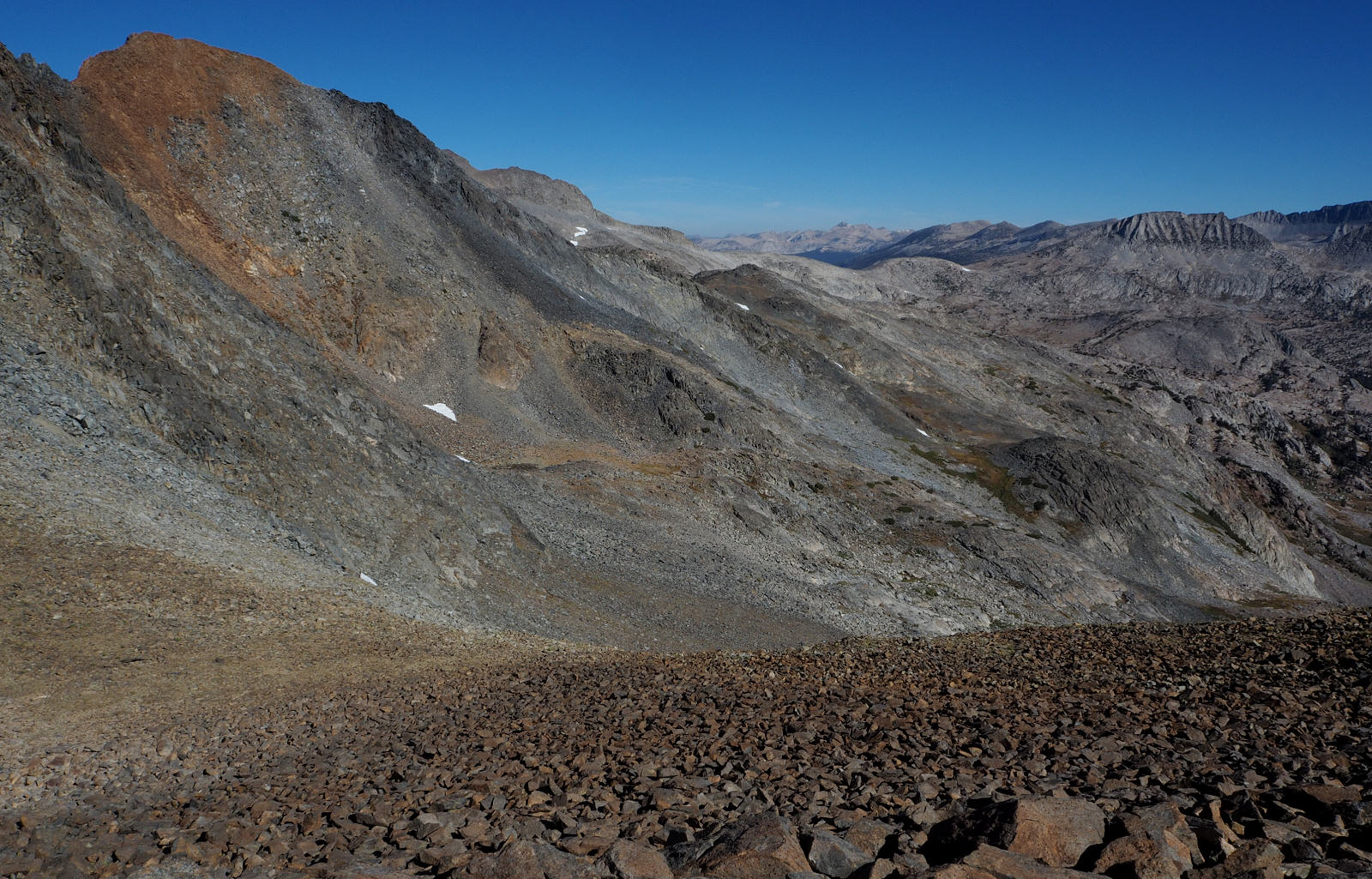
ANOTHER VIEW OF THE VERY IMPRESSIVE UPPER BASIN
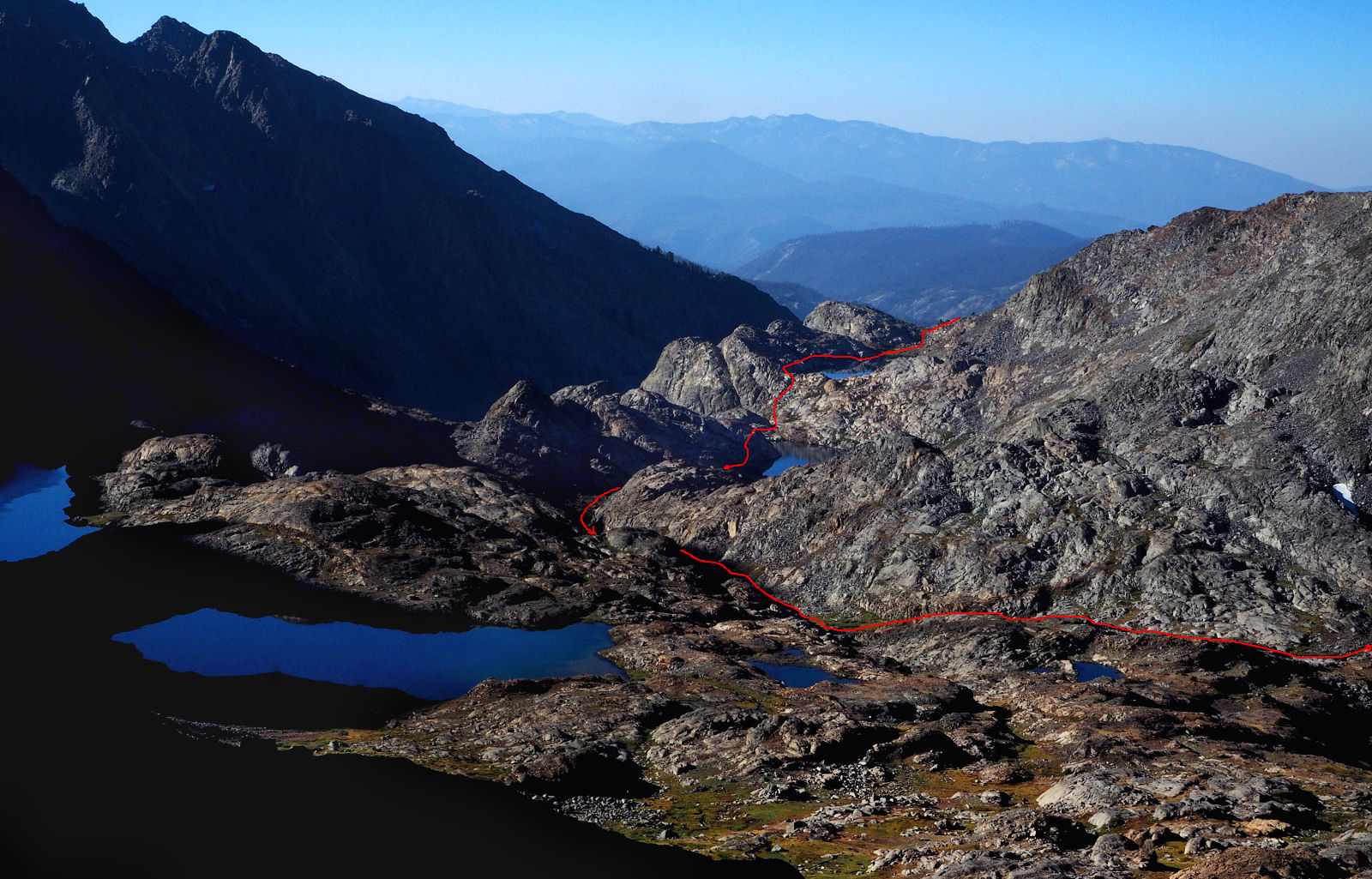
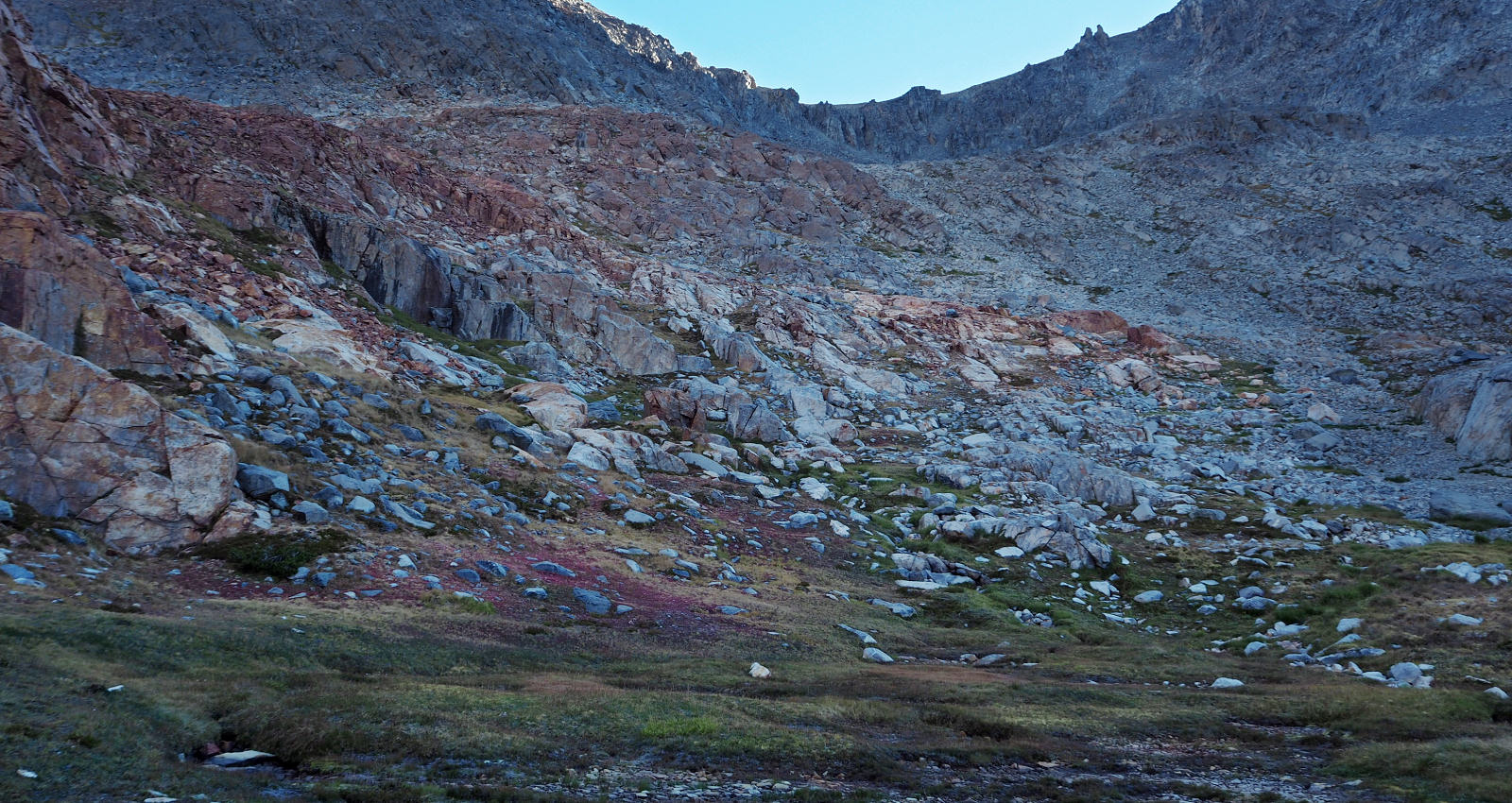
APRROXIMATE LINE OF TRAVEL IN THE UPPER BASIN THE DAY BEFORE
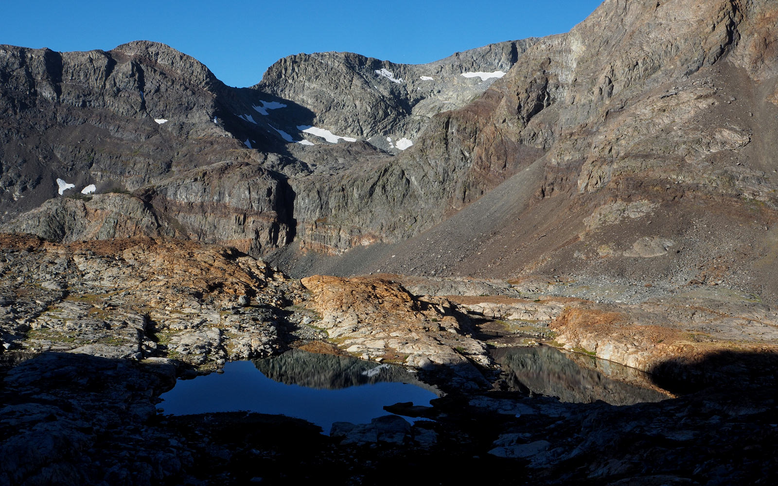
MORE SUN ENTERS THE UPPER BASIN
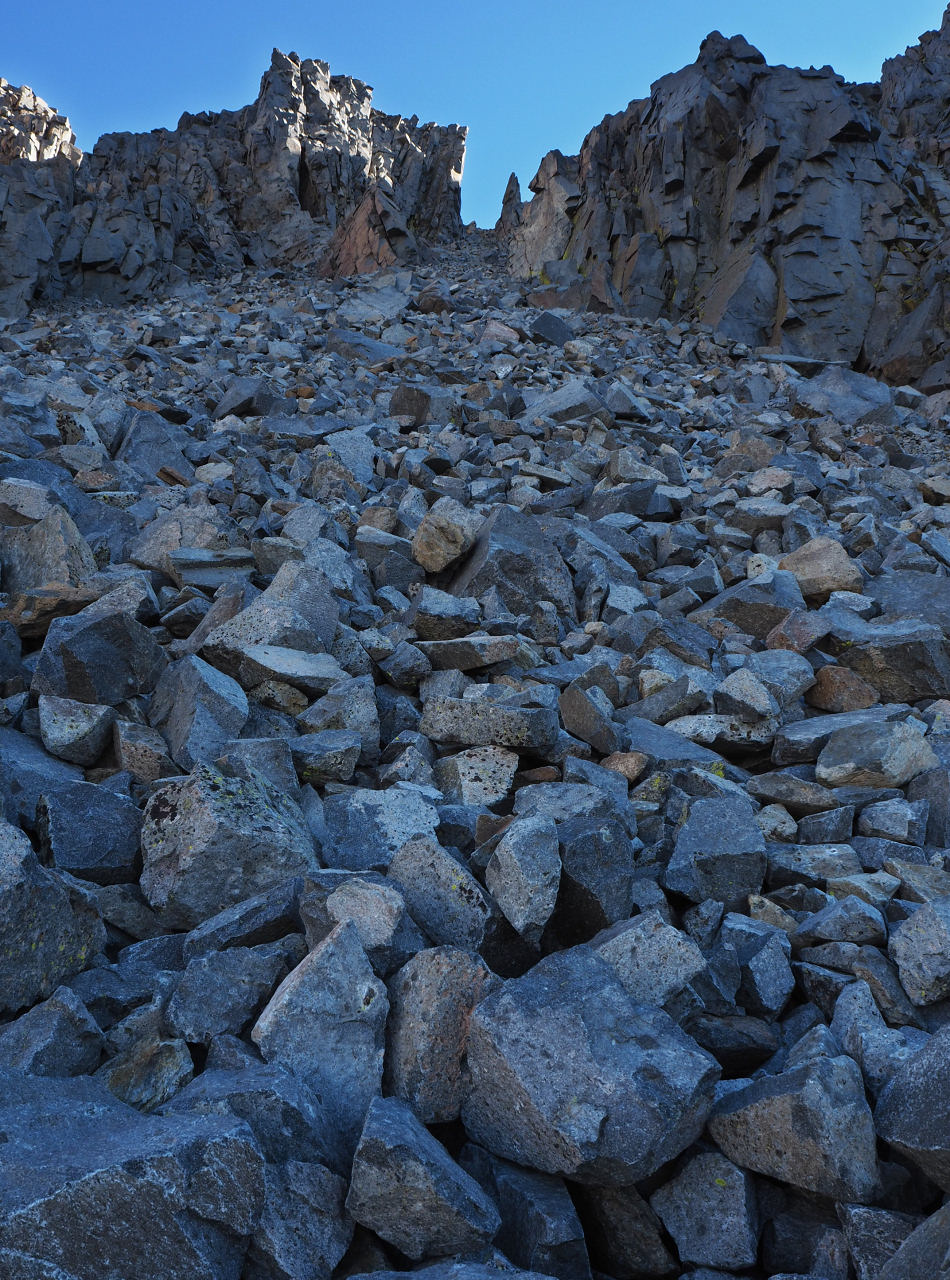
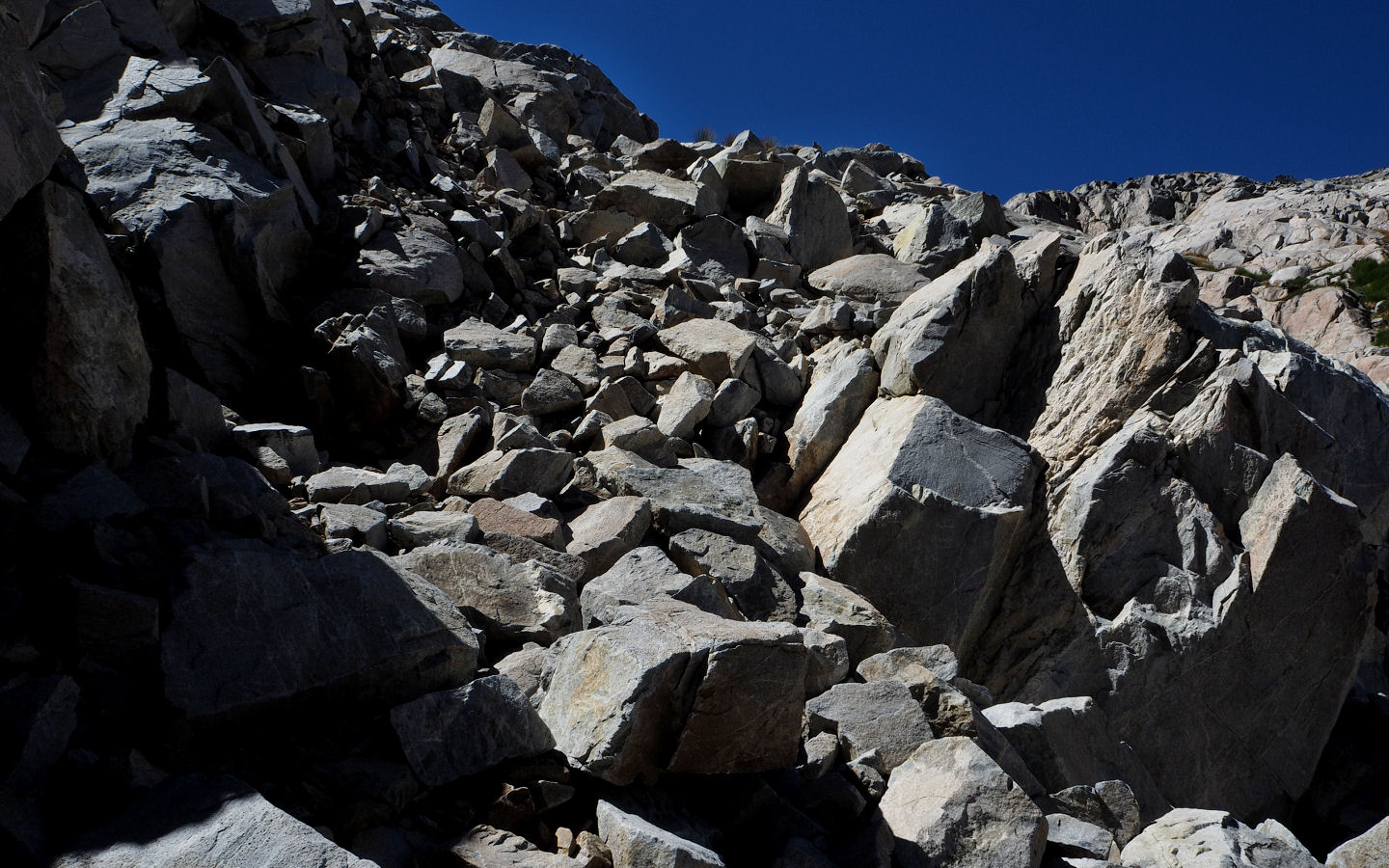
AND SO IT BEGINS. I'D ALREADY DECIDED THE ONLY GULLY THAT DIDN'T CLIFF OUT WAS THE FAR RIGHT ONE.
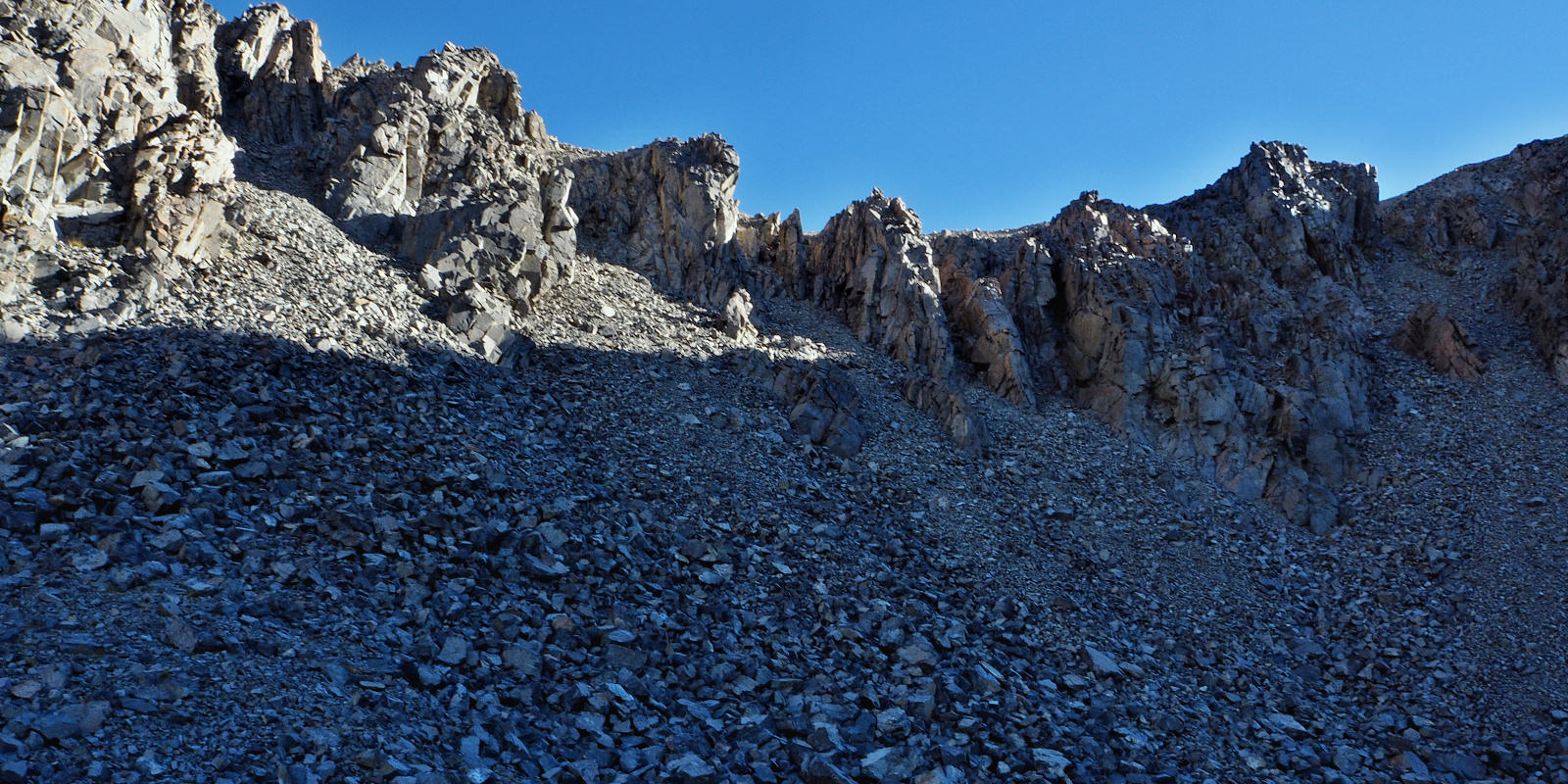
ANOTHER VIEW OF THE CHOICES AND THE LOGICAL ONE BEING THE FAR RIGHT LINE.
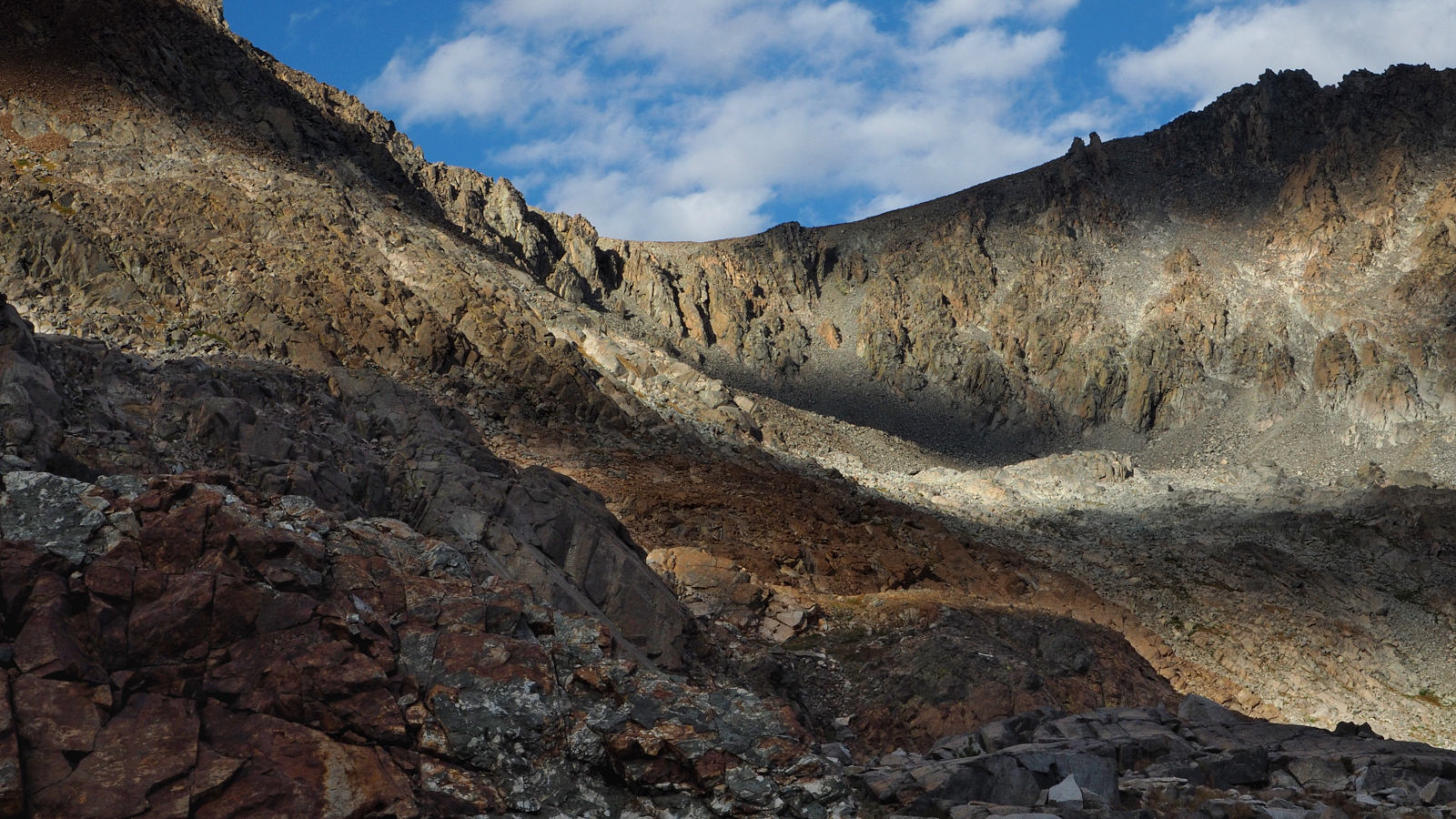
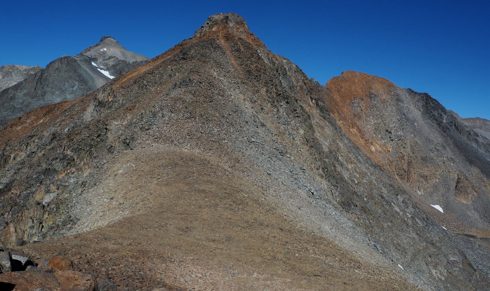
CLINCH PASS
SOME OF THE OTHER CHOICES AT CLINCH PASS SEEM TO ALL CLIFF OUT
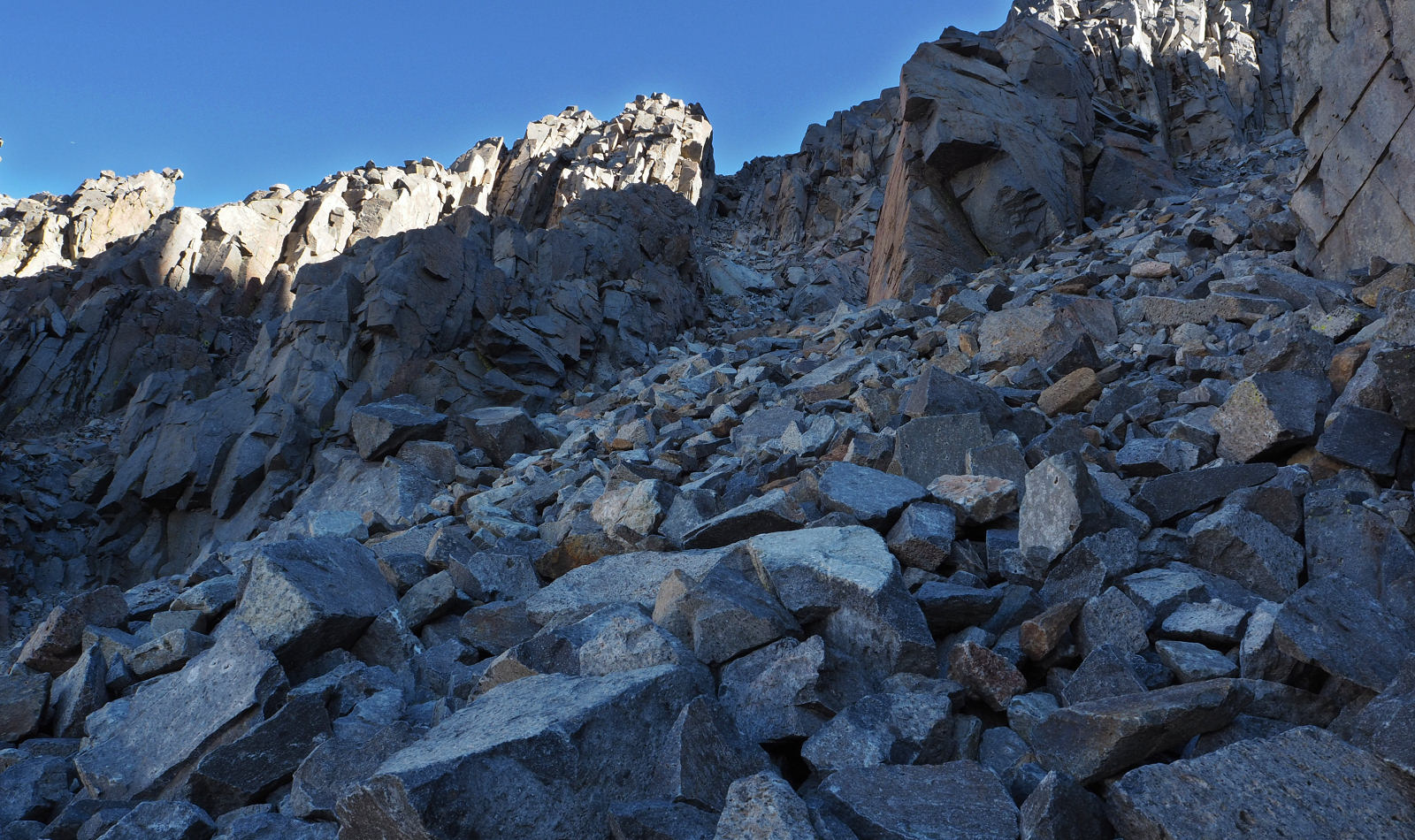
AFTER HUGGING THE WALL FOR AWHILE, I LEFT THE GULLY AND FINISHED UP ON THE MUCH MORE SOLID RIDGE ITSELF
AT THE TOP OF CLINCH PASS
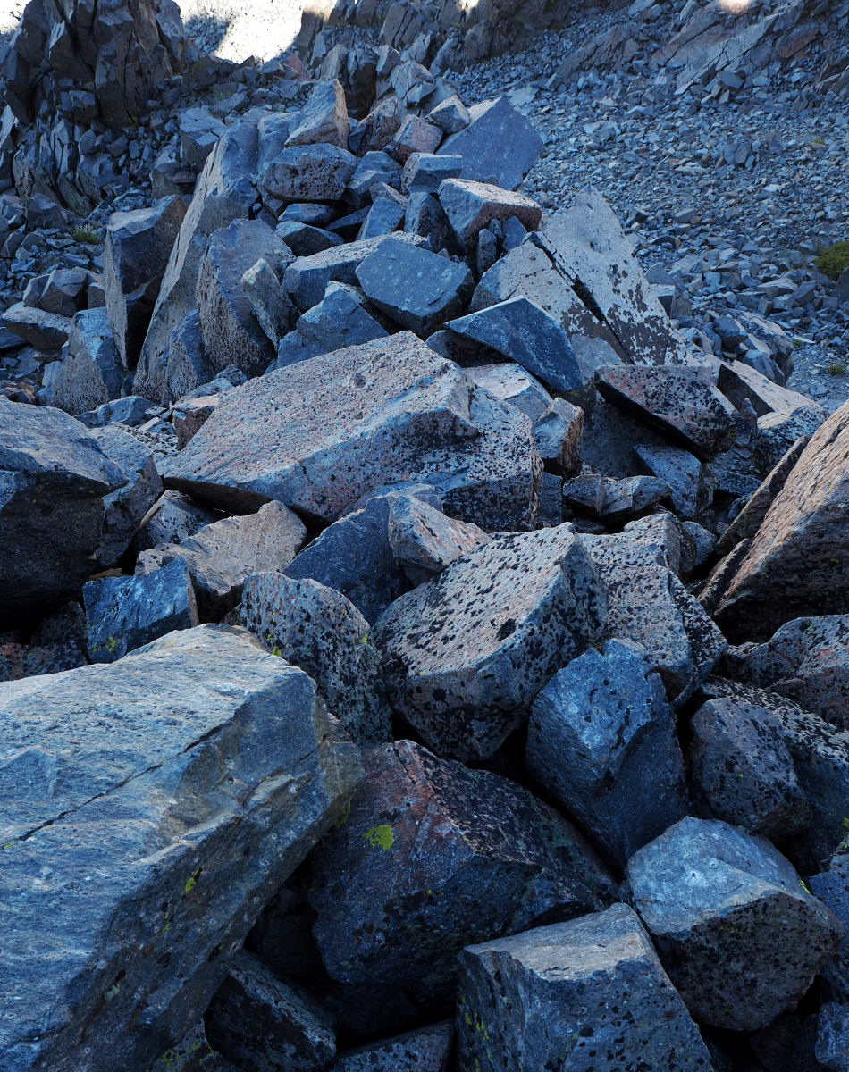
THE VERY UN-ATTRACTIVE DESCENT ON THE ROGERS LAKES SIDE OF THE PASS.
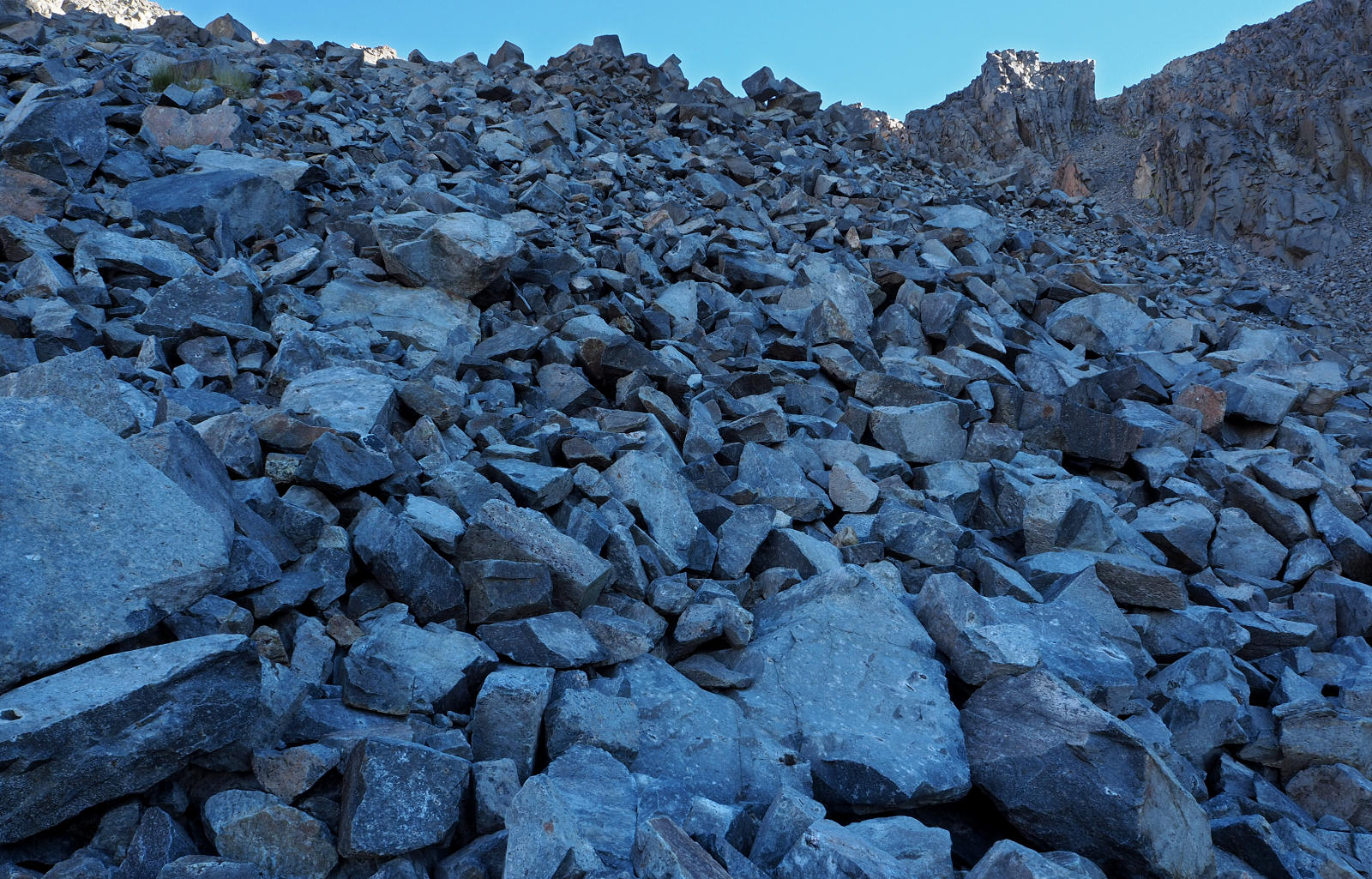
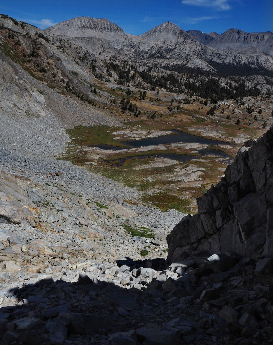
AFTER ALOT OF CAREFUL WALKING I REACHED WHAT I THOUGHT WAS THE END OF THE TALUS.
LOOKING DOWN FROM ABOUT HALFWAY TO THE LAKES
AND THEN IT BEGAN AGAIN.
AT LEAST HERE YOU CAN SEE THE END
CAMPSITE AFTER A SHORT BUT ARDUOUS DAY.
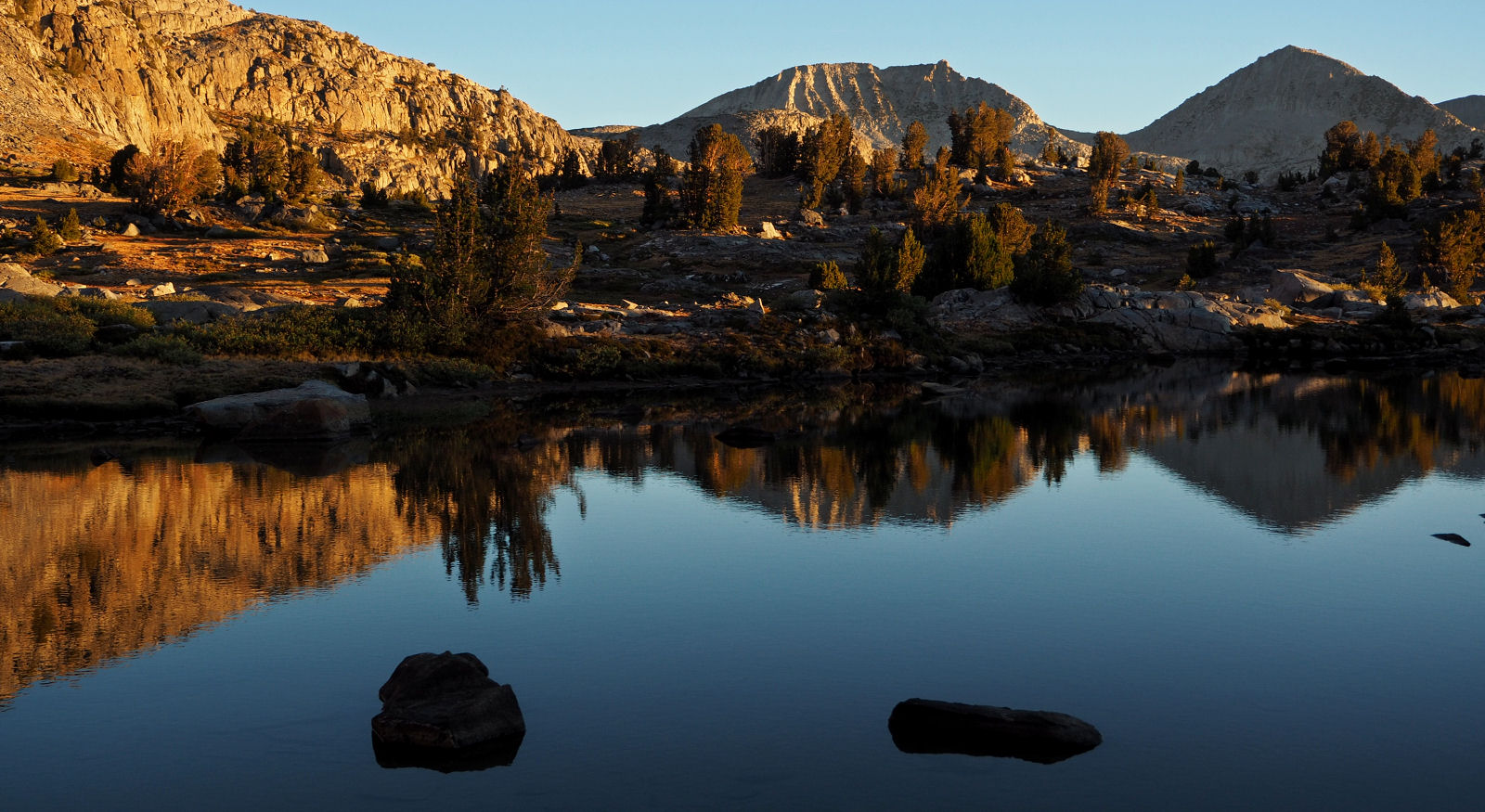
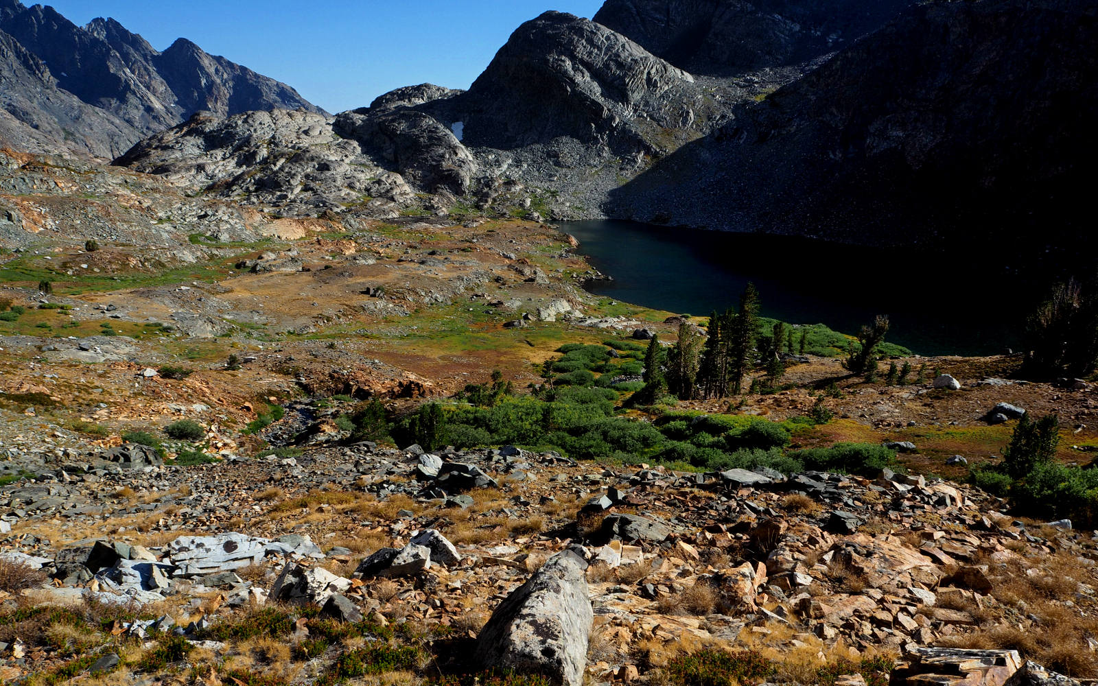
SUNRISE AT ROGERS LAKES ON DAY 7
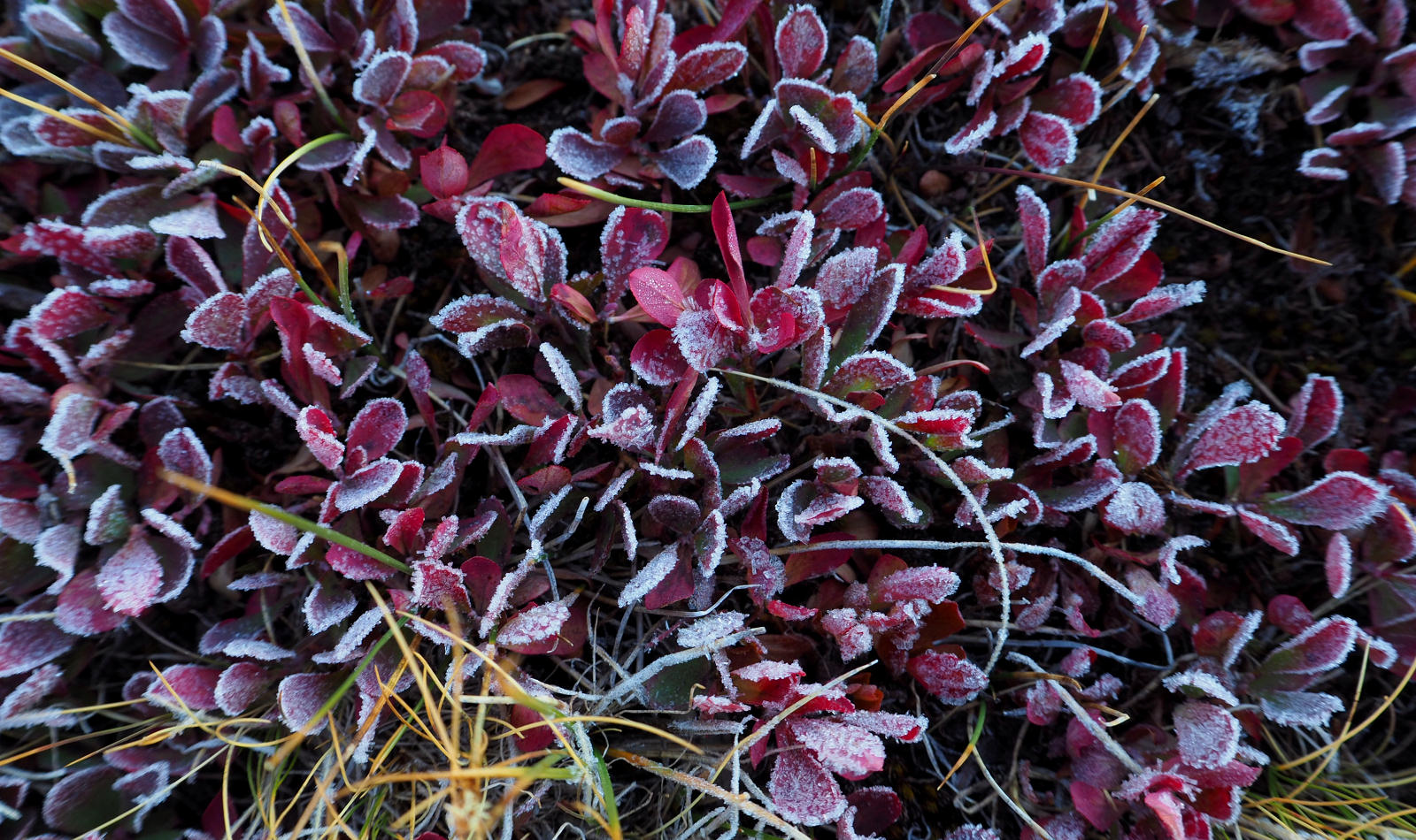
ANOTHER FROSTY NIGHT
SUNRISE LOOK UP TO CLINCH PASS
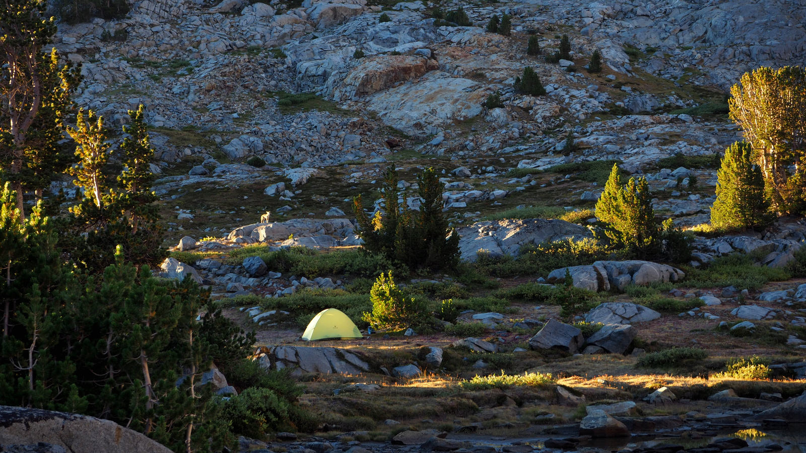
CAMPSITE VISITOR
LAST LOOK BACK UP TO CLINCH PASS
DECIDED TO HEAD EAST TO DAVIS LAKES TO SEE THEM AND PICK UP THE TRAIL THERE BACK TO THE JMT
ARRIVING AT DAVIS LAKES WITH THE PEAK OF THE SAME NAME ABOVE AND TO THE RIGHT
DAVIS LAKES
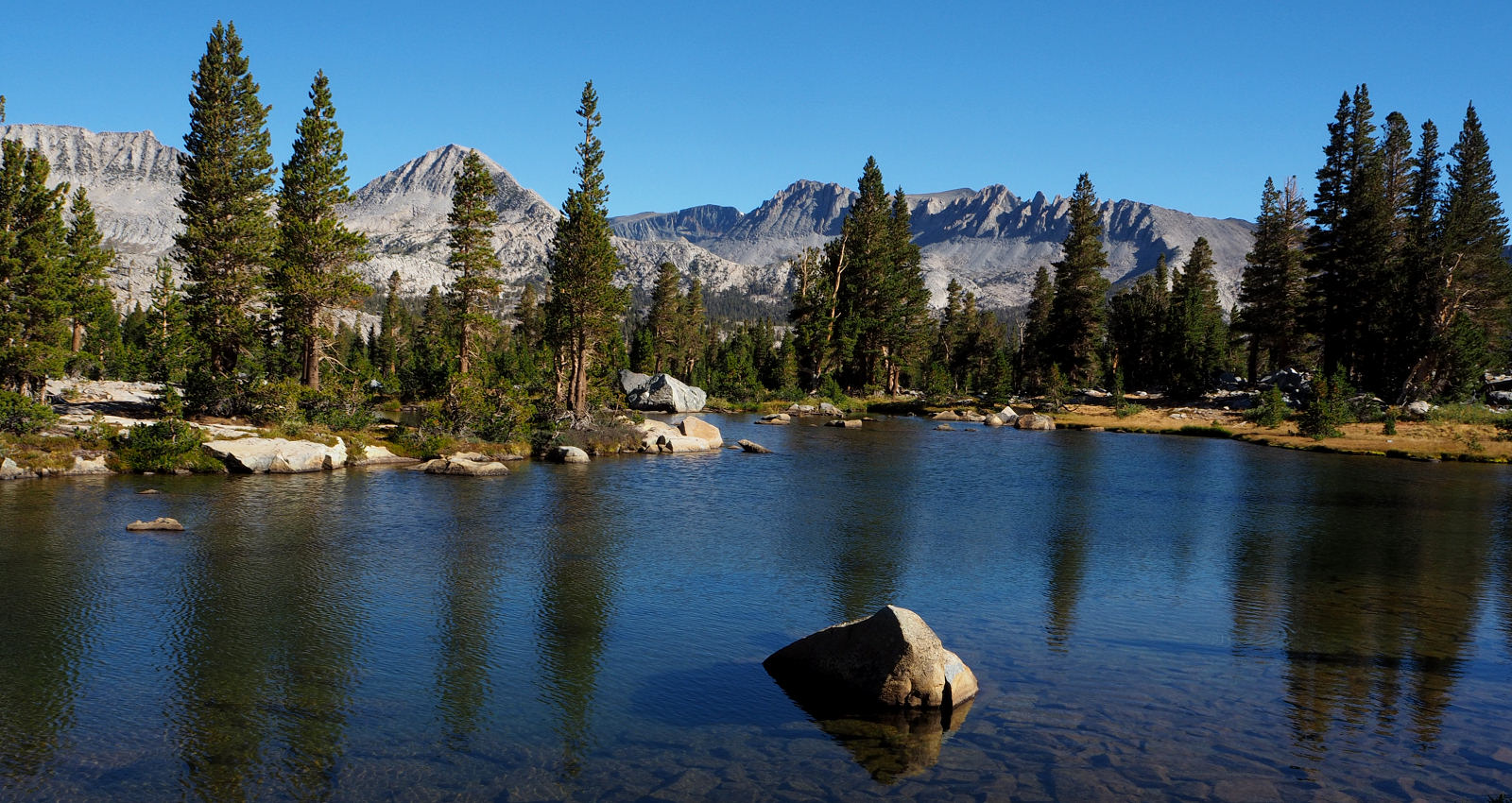
KOIP CREST FROM DAVIS LAKES

AGNEW LAKE
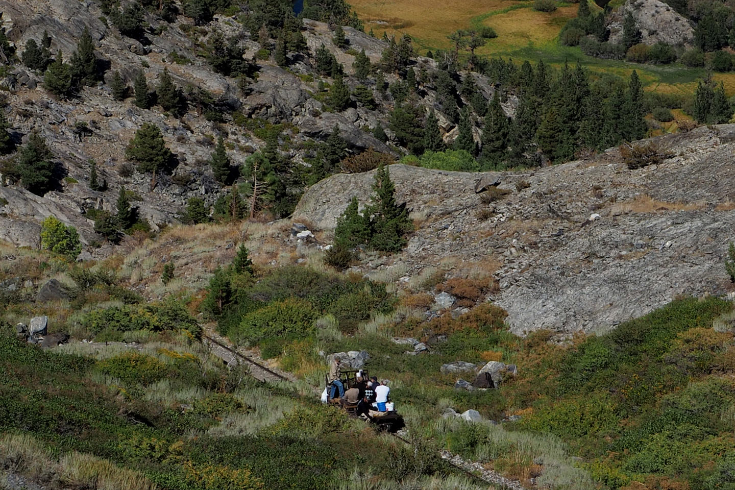
REMEMBER THAT SKETCHY LOOKING CABLE RAILWAY IN THE BEGINNING OF THIS ALBUM?
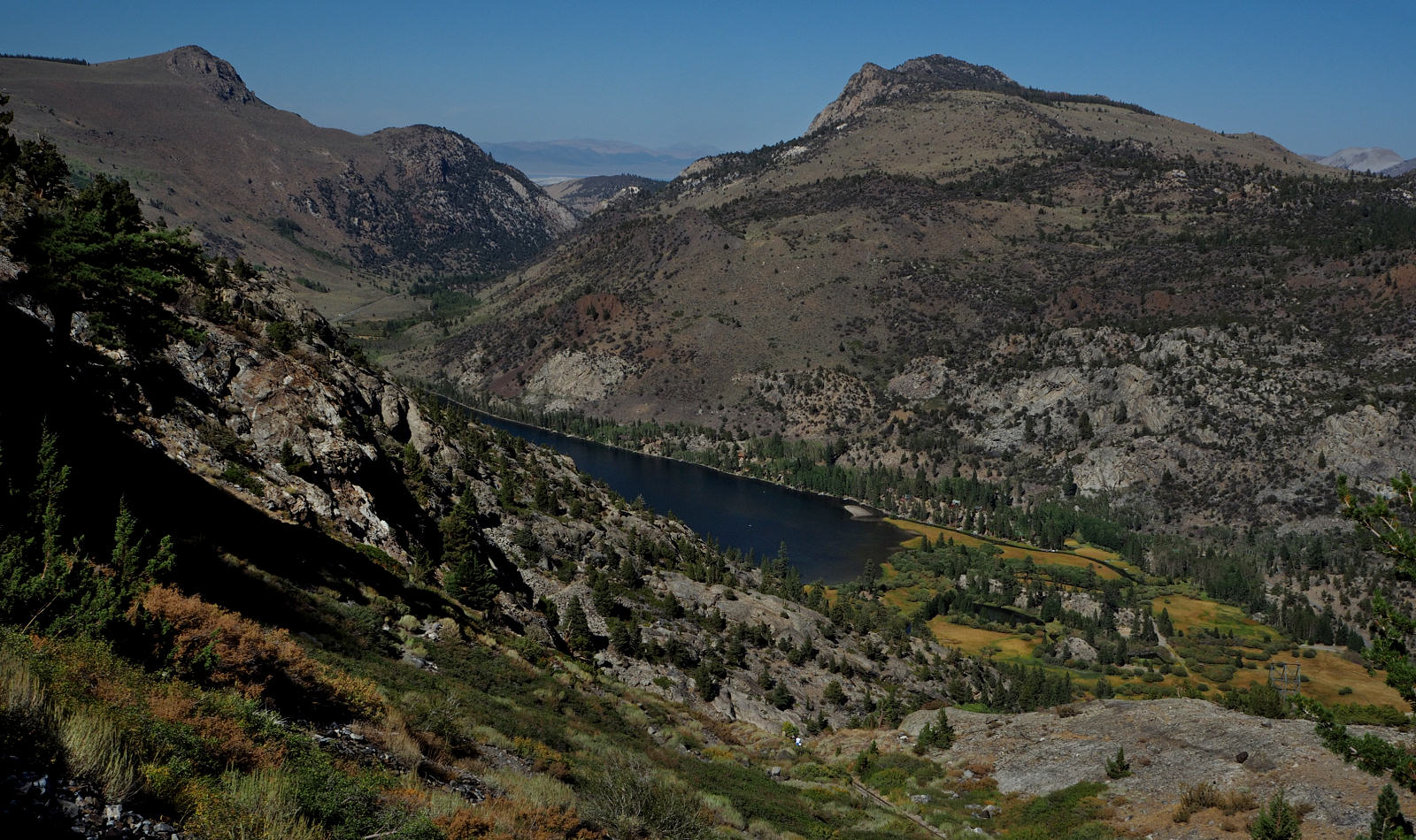
SILVER LAKE AT LAST!
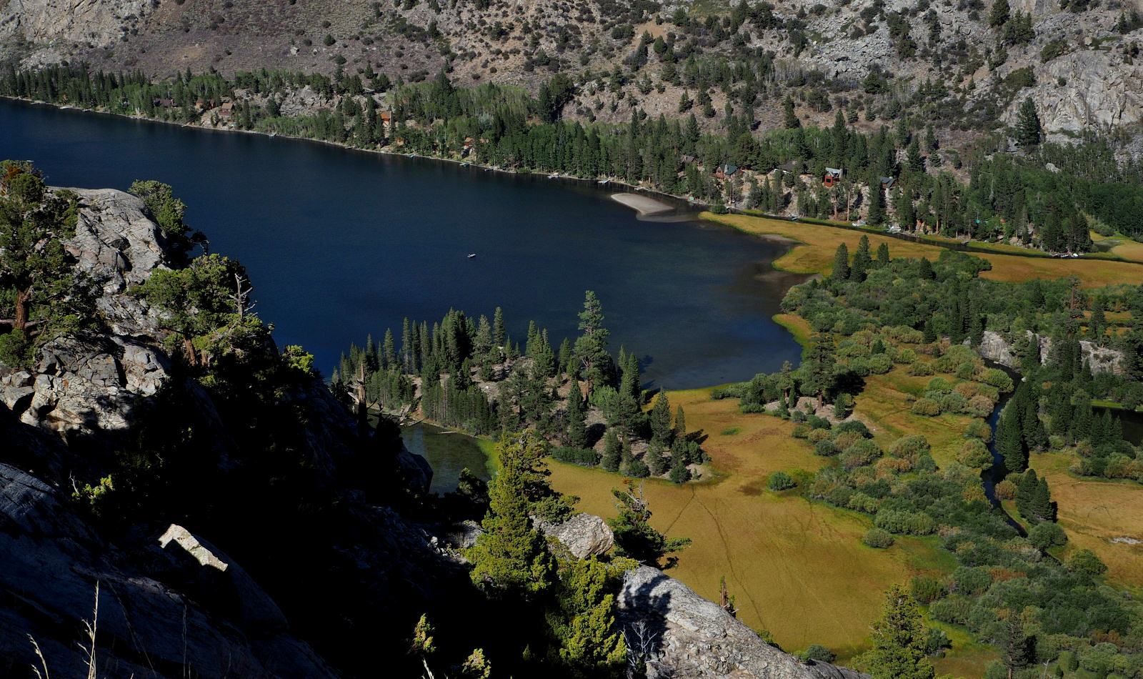
A VIEW OF THE EAST END OF SILVER LAKE
TIME FOR A FEW DAYS OF REST.