The last big effort of the 2021 season. Seems like May is already a distant memory now that the crowds, heat and bugs have arrived in the high country. On my long but scenic approach via Rush Creek / Spookey Canyon I lost count of the huge numbers of PCT thru hikers - some doing sections, others going for the full enchilada. One thing I did not see this entire season is another climber. Kind of odd. Anyway, the std route on Lyell is a real classic. As usual it seems at odds with the Secor description of the route rated at class 2-3. While the summit ridge is indeed class two, the fine solid rock found on the face just left of the upper col is not class 3. If it is, it's 3+ no fall climbing. Steep, solid and gifted with holds in all the right places. Most likely there are other ways to go, but the intuitive way was even marked by several small cairns. Down-climbing the route is definitely the crux. The view from the top is not to be missed.
View Trip Map for loop details and campsite locations

ABOVE THE FINAL SLABS, THE ANGLE KICKS BACK AND A SHORT SCRAMBLE LEADS TO THE SUMMIT RIDGE
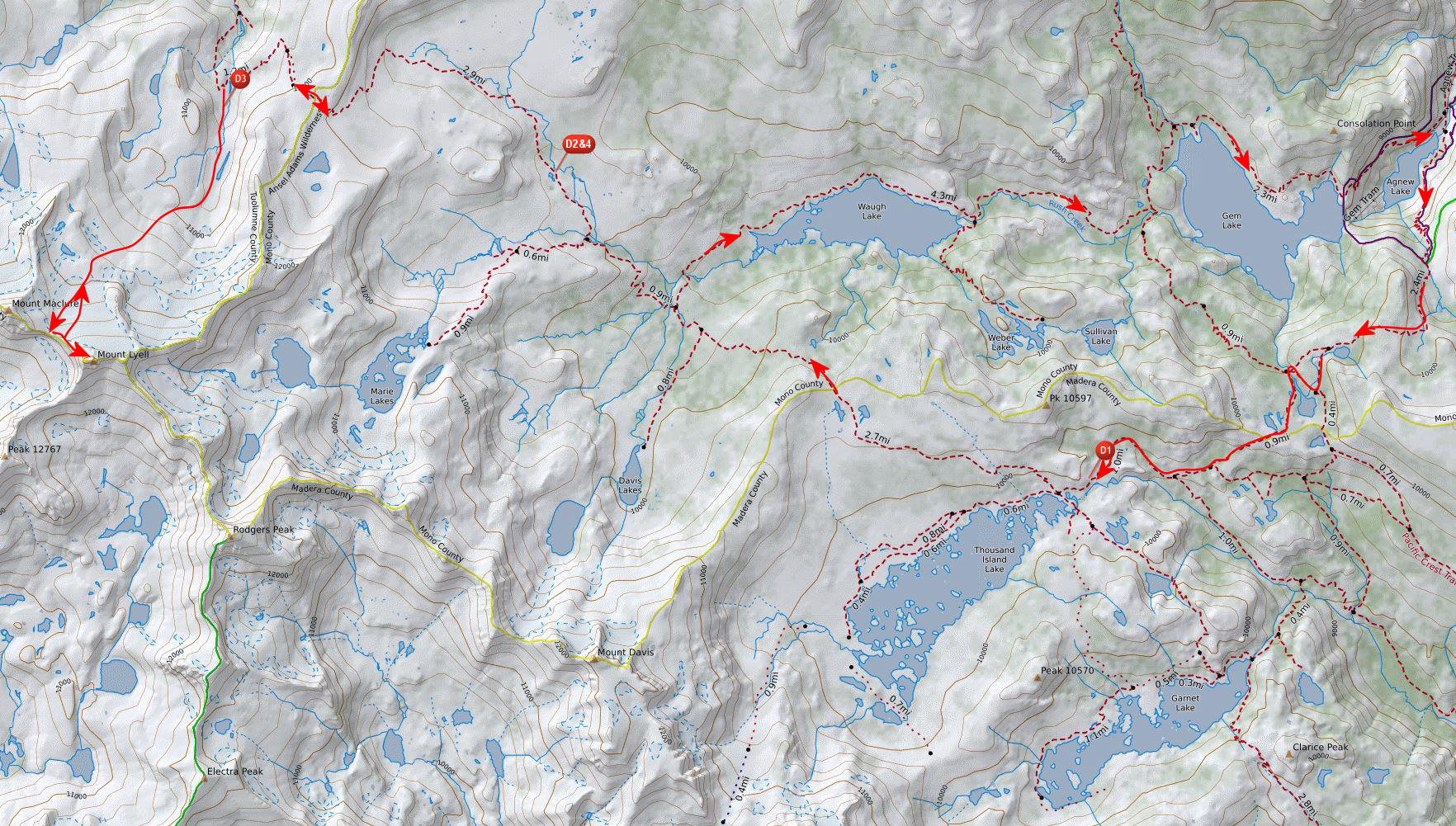
LOOKING DOWN INTO HUTCHINGS BASIN FROM THE NW RIDGE OF LYELL

NOTHING BUT A SHORT BOULDERFIELD REMAINS BEFORE REACHING THE SUMMIT OF MT LYELL AT 13,114 FT, YOSEMITE
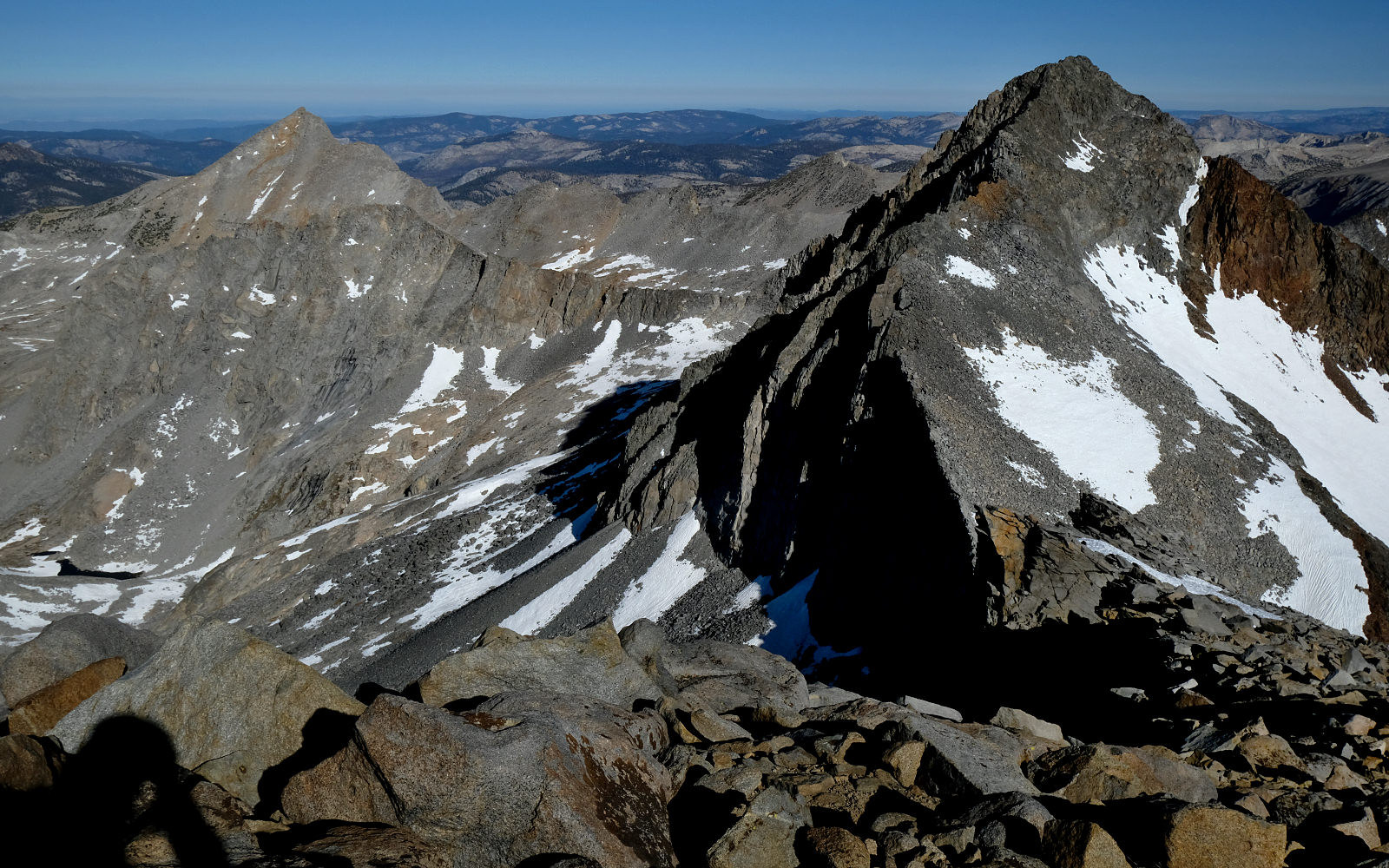
FLORENCE AND MACLURE FROM NEAR THE TOP OF MT LYELL, YOSEMITE NP
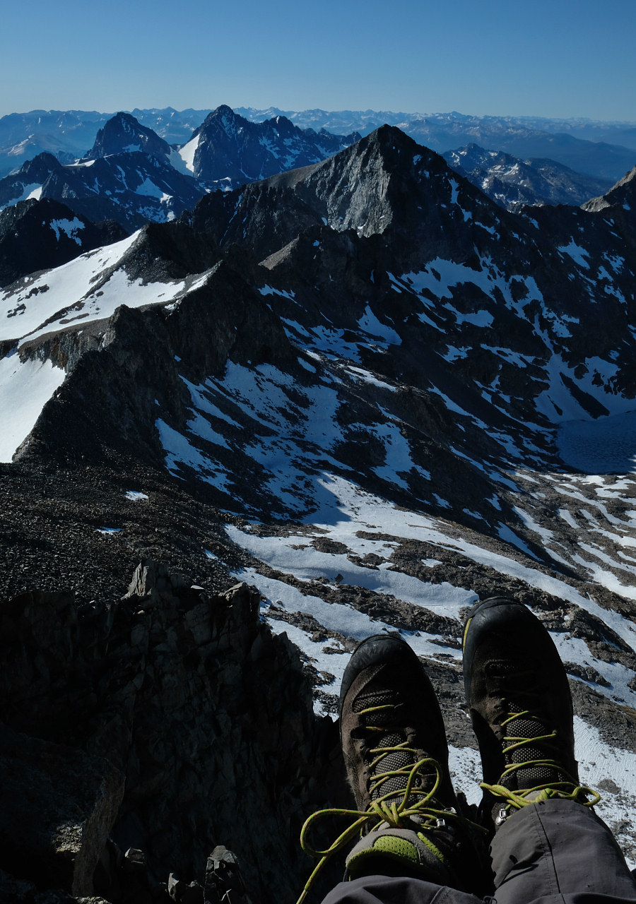
MY WELL TRAVELLED KAYLAND BOOTS AT THE TOP OF MT LYELL, 13114 FT, YOSEMITE NP

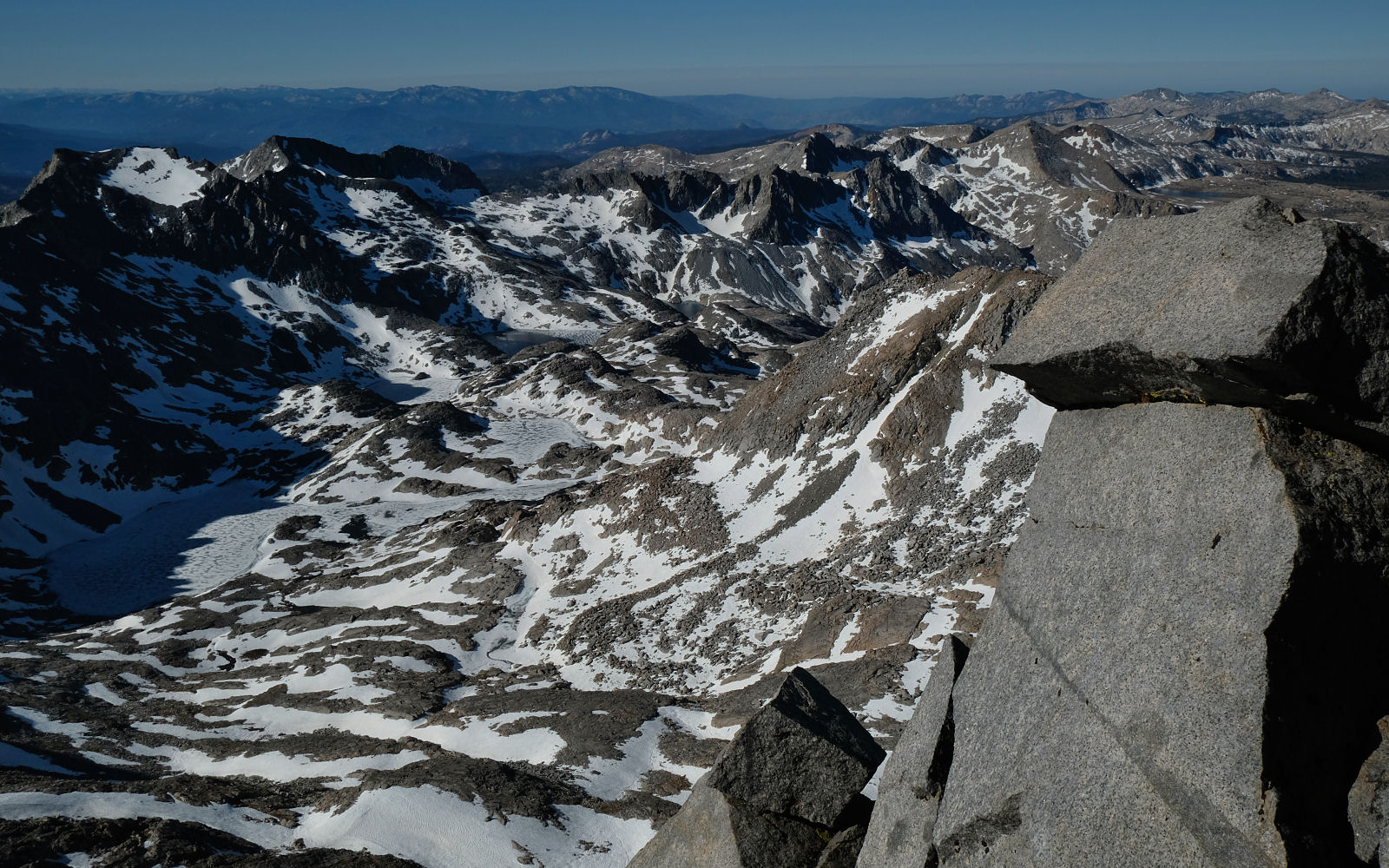
DAVIS, BANNER, RITTER AND ROGERS PEAKS FROM THE TOP OF MT LYELL, YOSEMITE NP
ANOTHER VIEW OF THE UPPER BASIN OF THE LYELL FORK OF THE MERCED RIVER FROM THE TOP OF MT LYELL
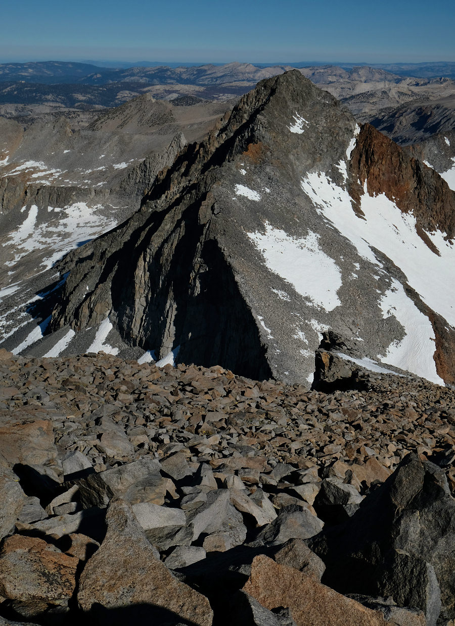
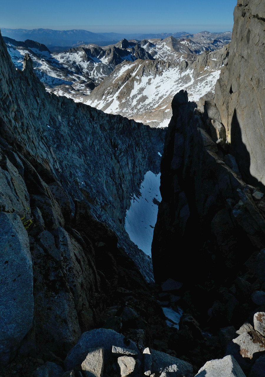
MACLURE FROM THE TOP OF MT LYELL, YOSEMITE NP
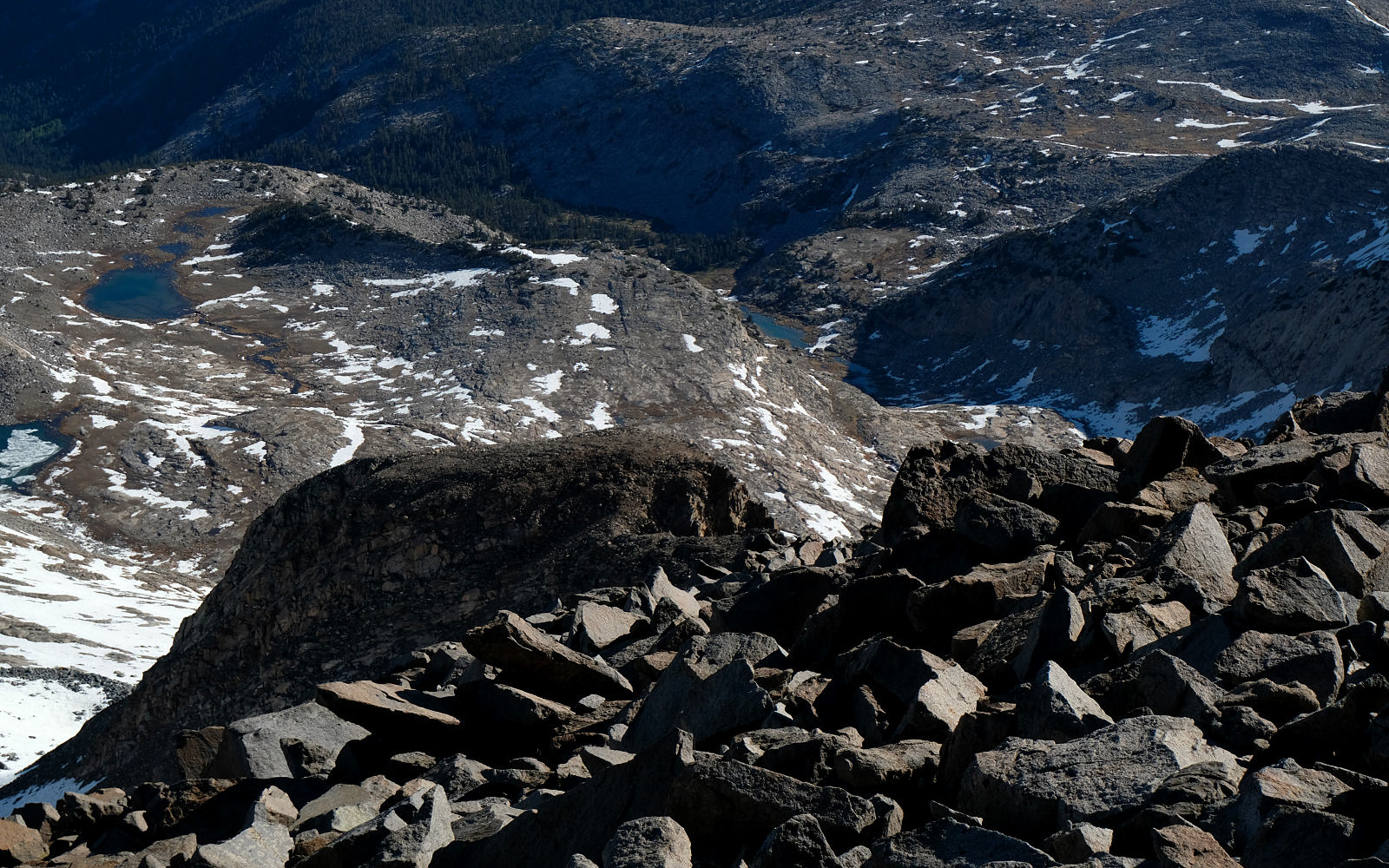
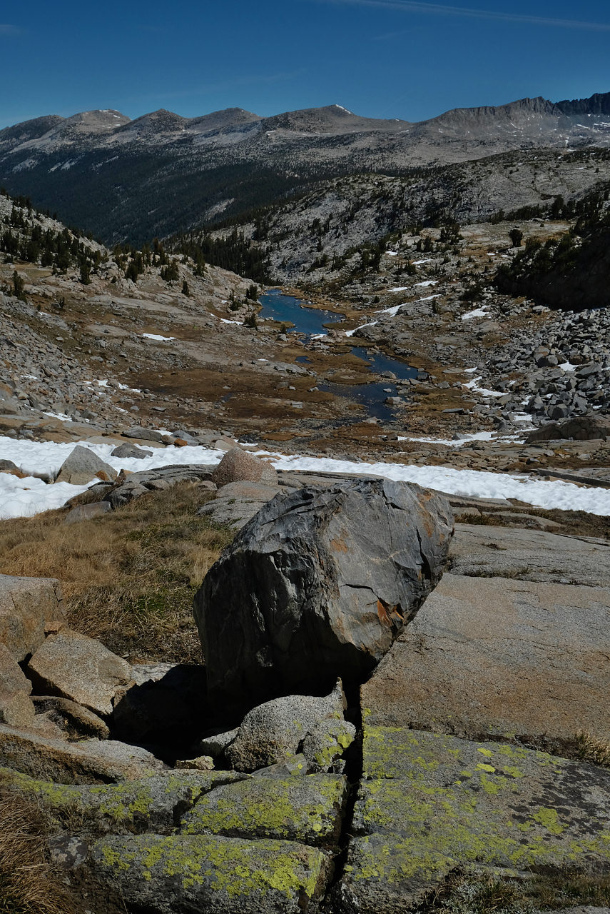
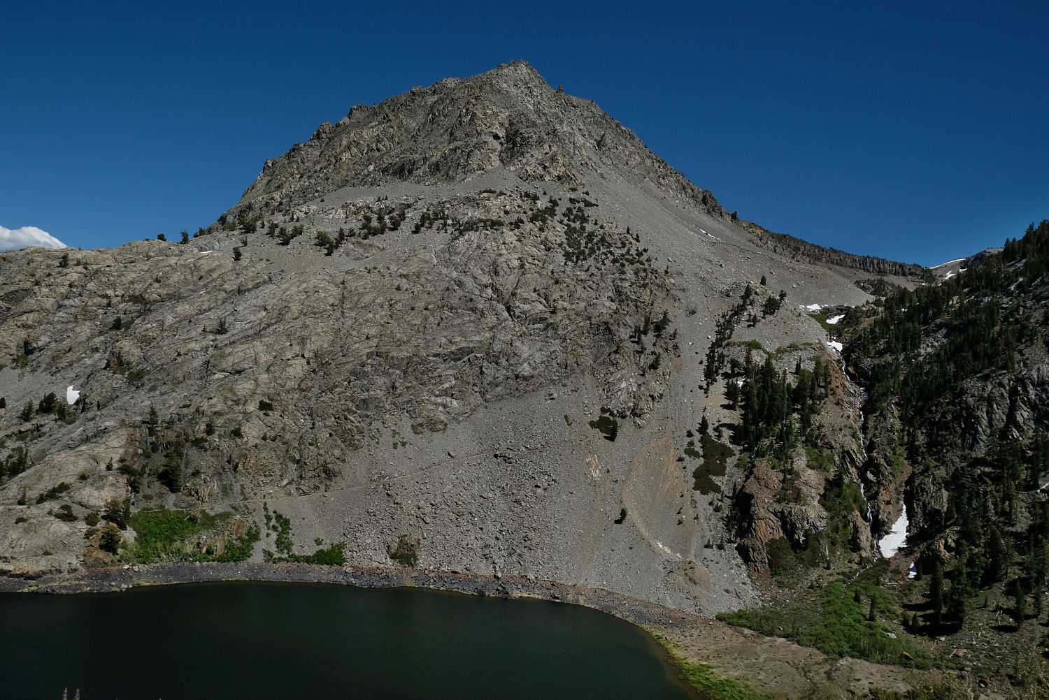
LOOKING DOWN ABOUT 2600 FT TO THE SMALL LAKE AND SNOWFIELD WHERE MY CAMPSITE IS - YOSEMITE NP

LOOKING DOWN THE STEEP SECTION OF THE NW RIDGE ON THE DESCENT.
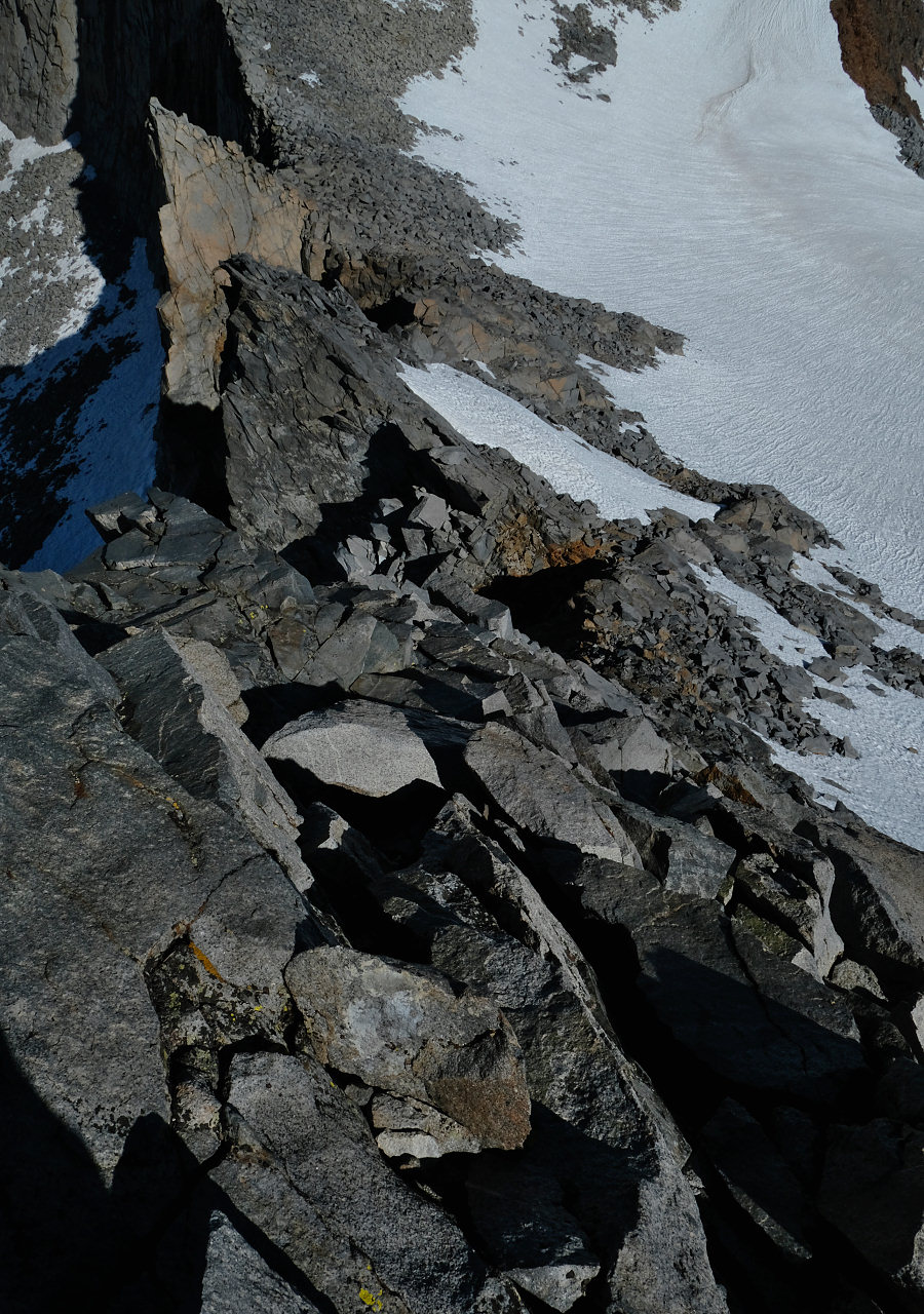
ANOTHER VIEW LOOKING DOWN THE STEEP SECTION OF THE NW RIDGE ON THE DESCENT.
OFF THE SNOW AND MAKING MY WAY BACK TO CAMP NOT FAR FROM THE JMT IN YOSEMITE NP
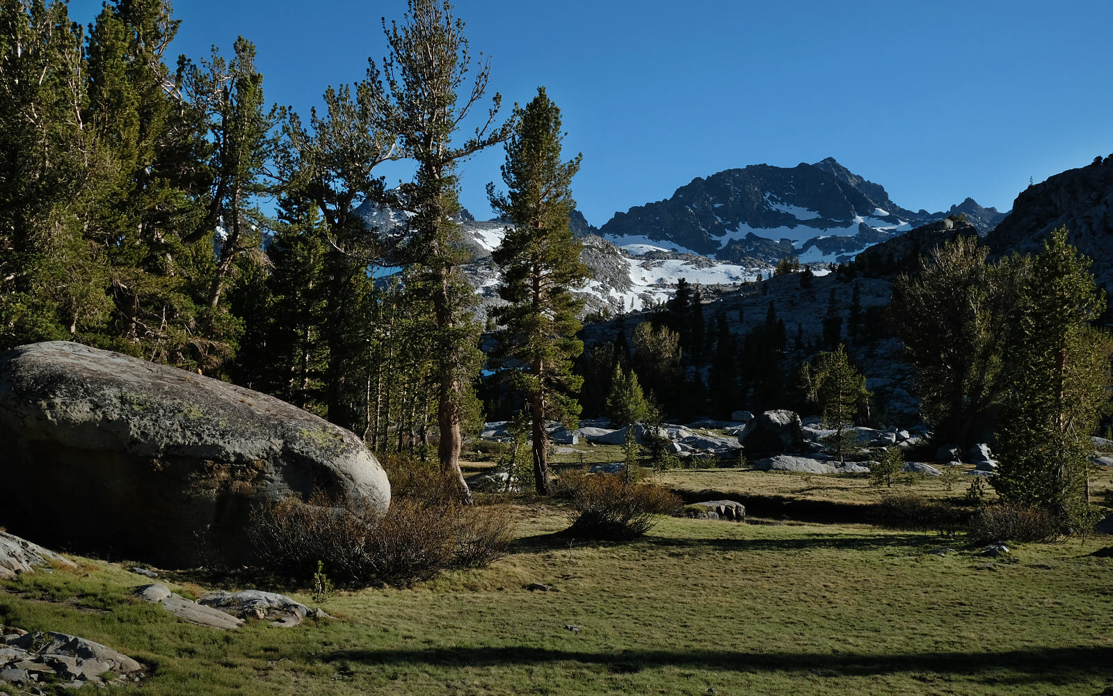
SLIGHTLY NICER CONDITIONS ON THE RETURN VISIT, ANSEL ADAMS WILDERNESS

EVENING VIEW OF MT DAVIS, ANSEL ADAMS WILDERNESS
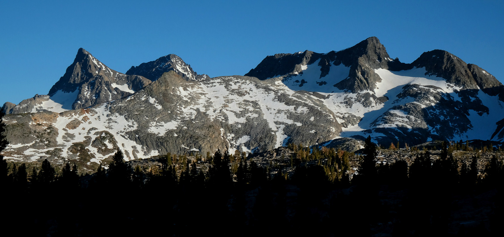
EVENING VIEW OF BANNER, RITTER AND DAVIS PEAKS, ANSEL ADAMS WILDERNESS
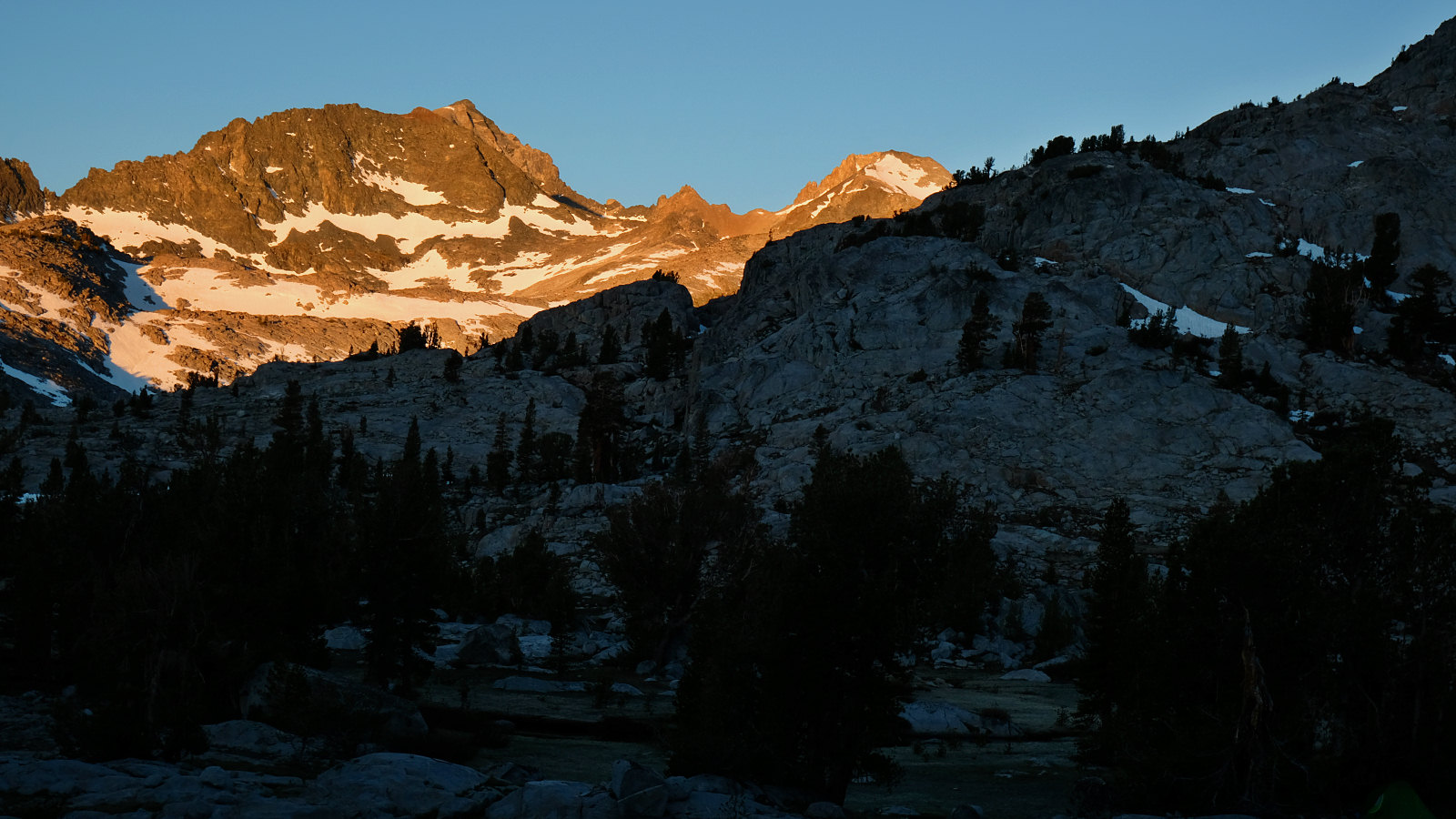
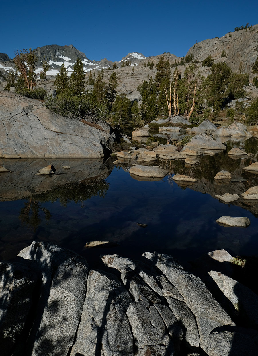
SUNRISE DAY 5, ANSEL ADAMS WILDERNESS
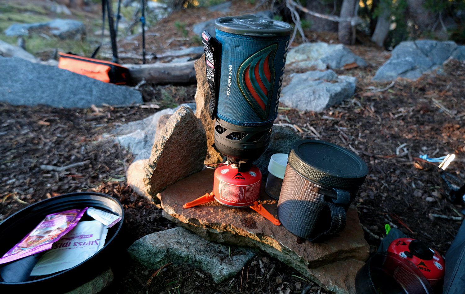
JETBOIL IS THE ONE AND ONLY STOVE
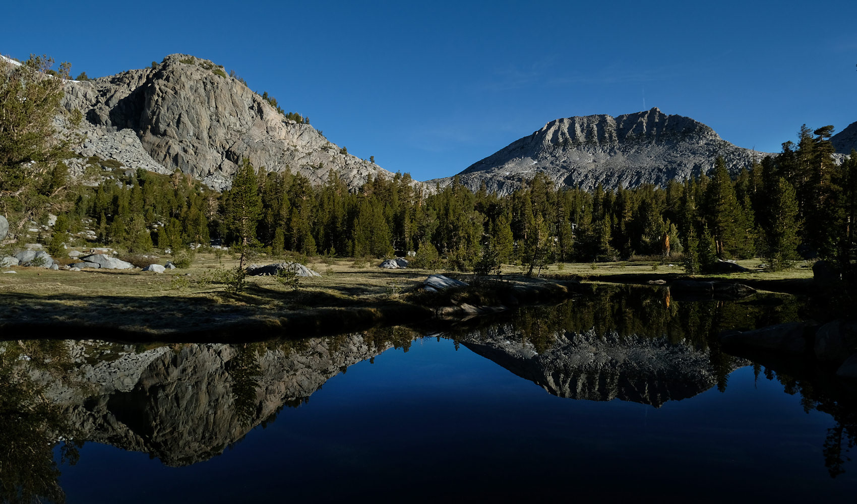
A MORNING WITHOUT WIND, JOHN MUIR TRAIL, ANSEL ADAMS WILDERNESS
ROCK ART ALONG THE JOHN MUIR TRAIL, ANSEL ADAMS WILDERNESS
THE ANCIENT WAUGH LAKE DAM AND ITS MOSTLY EMPTY RESERVOIR, RUSH CREEK
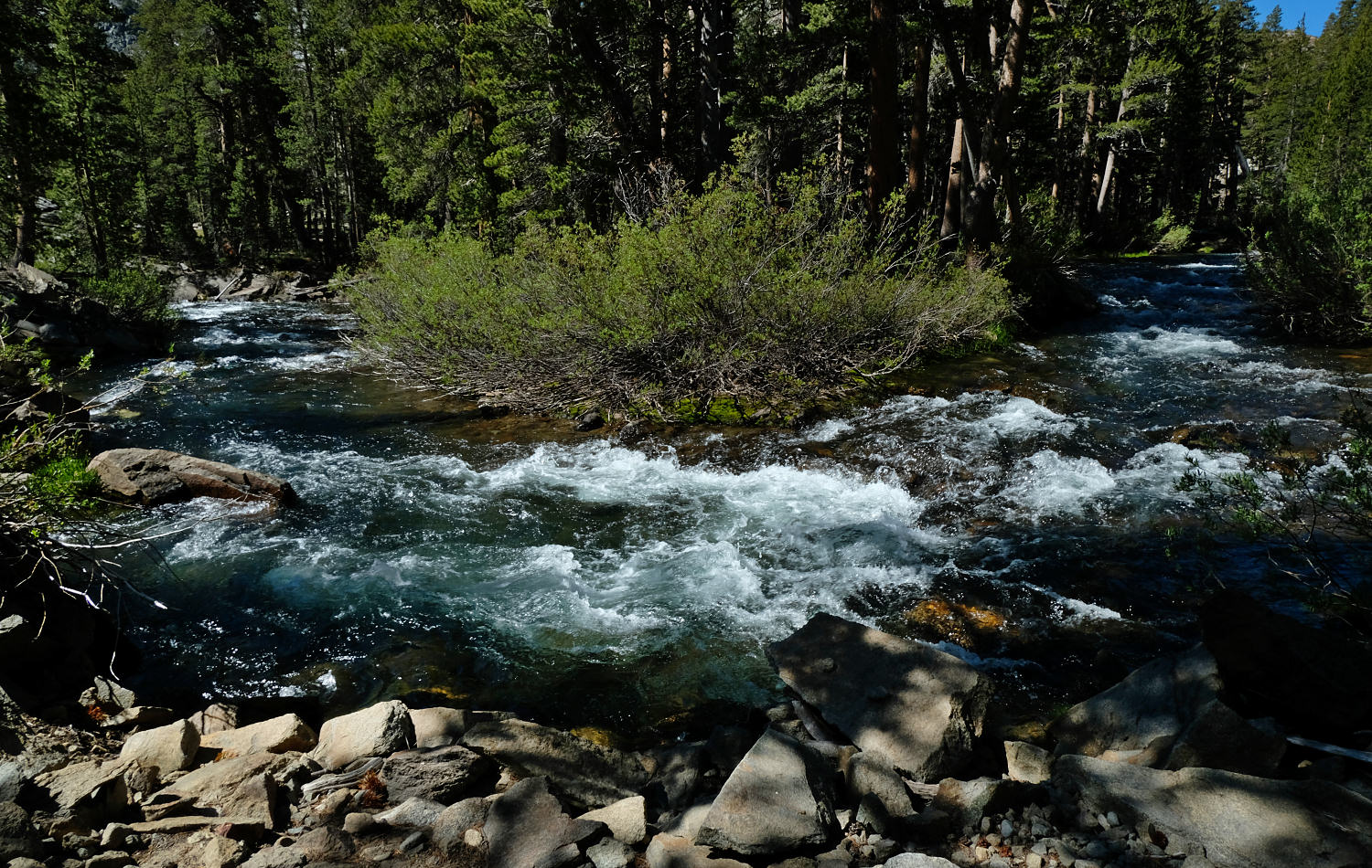
AND YET THE DAMS MUST RELEASE WATER BY CONTRACT. THIS VIEW BELOW WAUGH LAKE DAM, RUSH CREEK

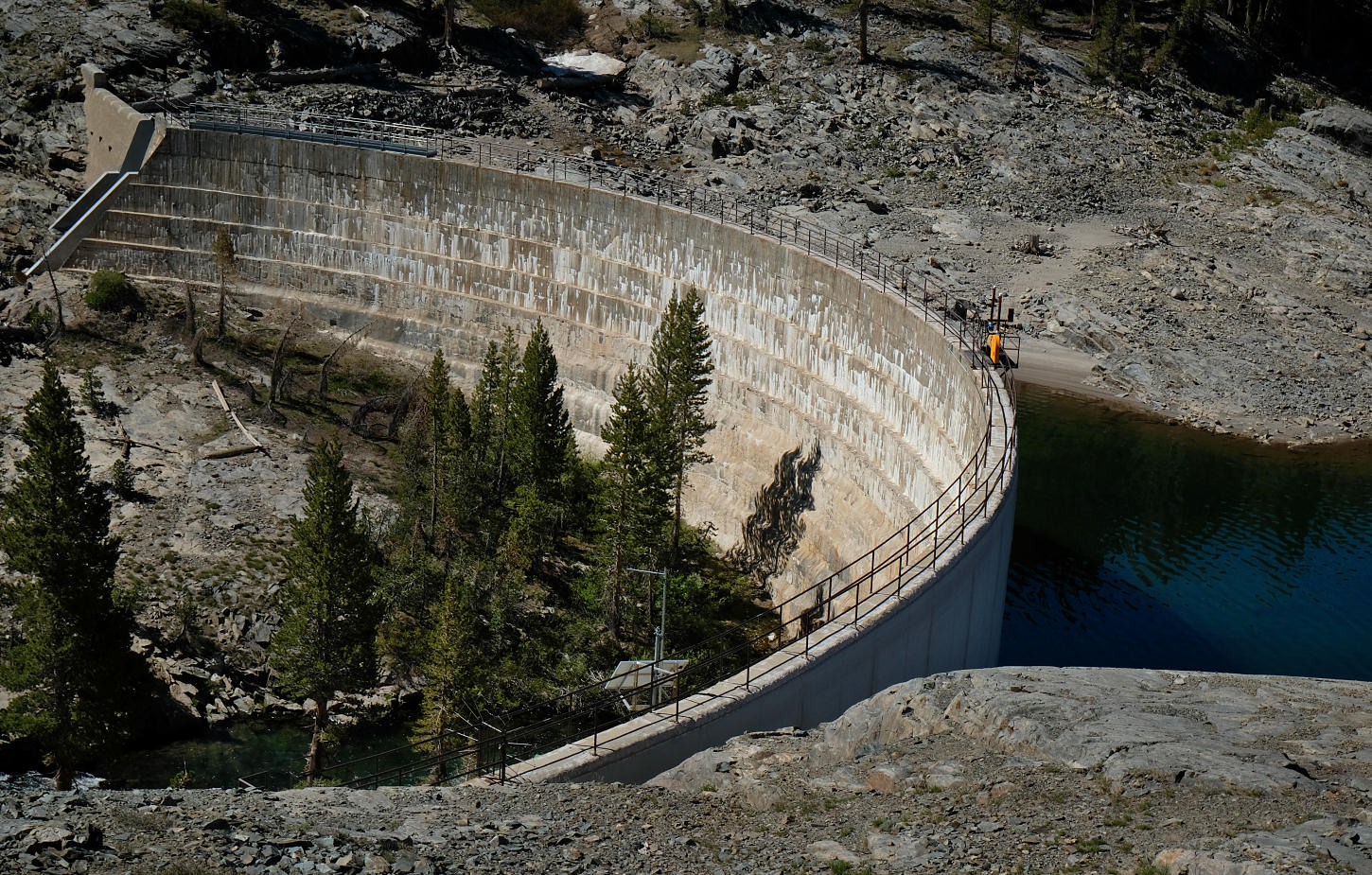
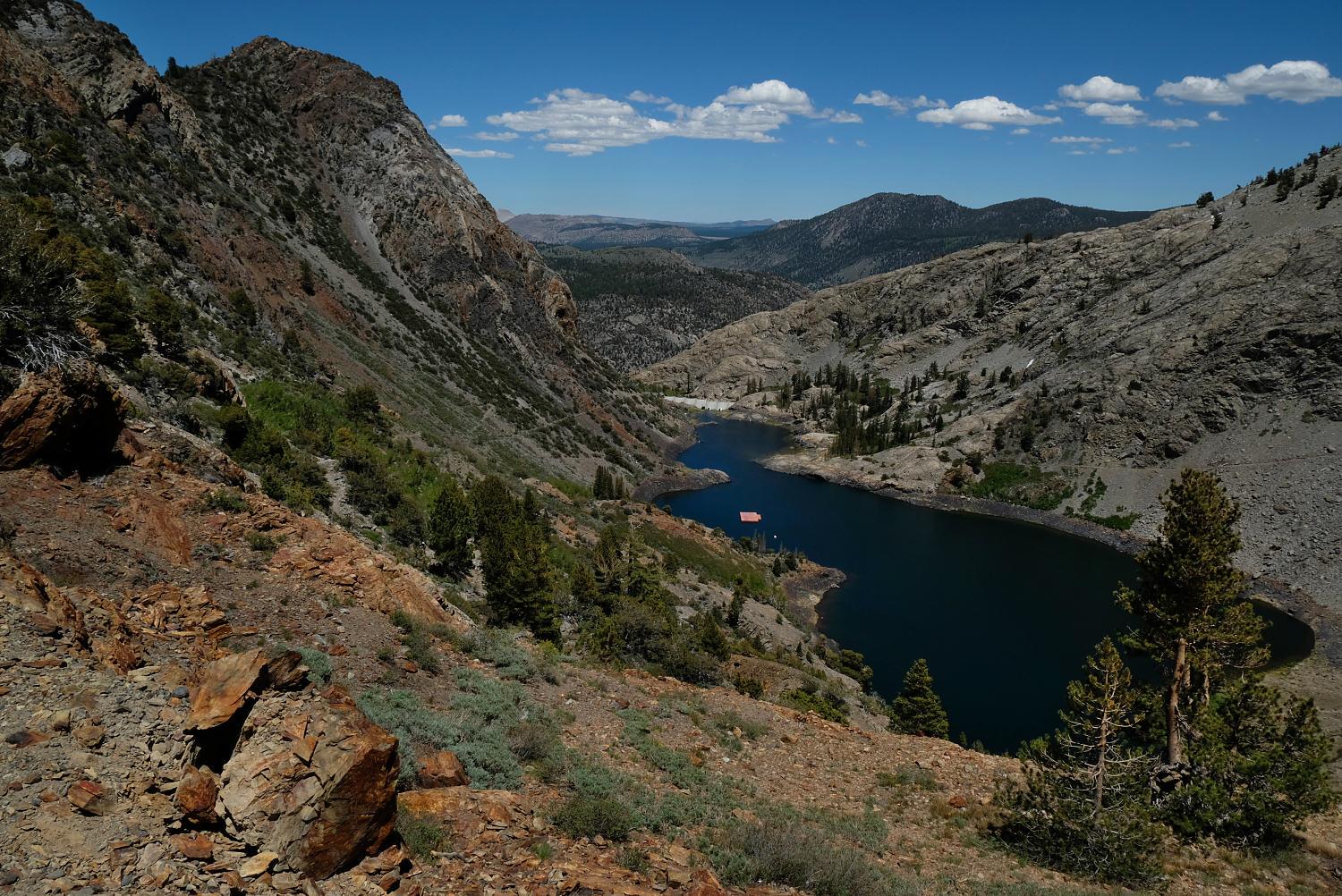
THE GEM LAKE DAM FROM THE RUSH CREEK TRAIL
AGNEW LAKE - ABOUT FOUR MILES TO GO. RUSH CREEK TRAIL
SPOOKEY CANYON AND THE TRAIL I STARTED UP FOUR DAYS AGO
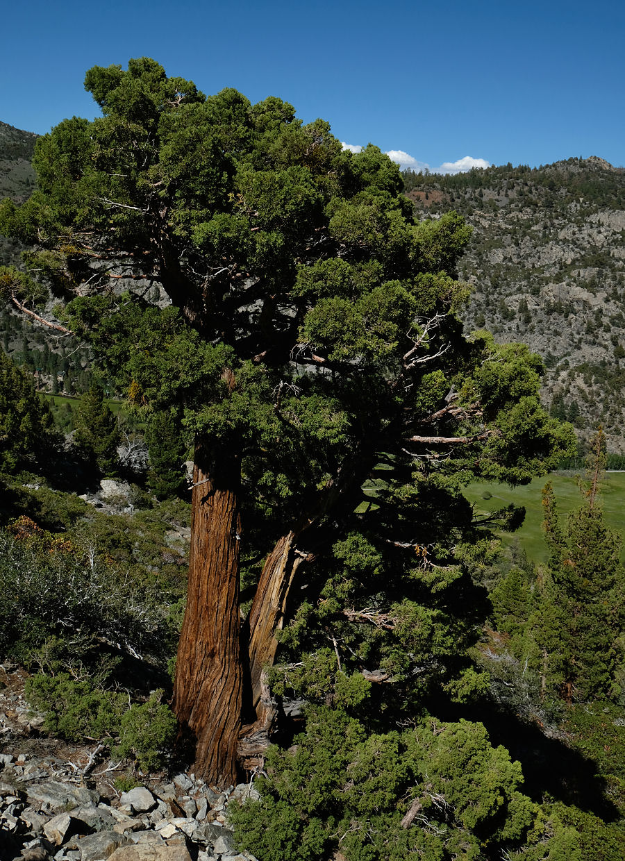
A SMALL BUT CLASS SIERRA JUNIPER NEAR THE BOTTOM OF THE RUSH CREEK TRAIL

LOOKING DOWN AT THE RUSH CREEK TRAILHEAD ON SILVER LAKE